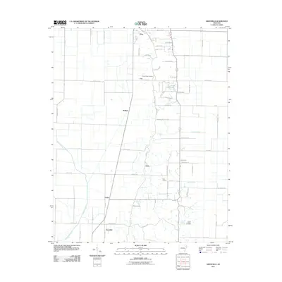
2011 Map of Greenfield
USGS Topo · Published 2011About this map
The L'Anguille River meanders through the southwestern corner of this Arkansas landscape, defining a low-lying drainage basin where Big Creek and Barker Creek also flow. The terrain is characterized by a dense grid of county roads that service a string of small rural settlements including Greenfield, Gaulett, Mulligan, Cary, and Ridge. These clusters, often located at key crossroads or along the north-south transit corridor, represent the agricultural heart of the region.
Find a feature on this map
69 named features on this map. Tap any name to fly to it.
Don’t see what you’re looking for? This feature index may not catch every label — zoom into the map to look around manually.
Map Details
Editions of this 2011 Greenfield Map
This is the sole edition of this map. No revisions or reprints were ever made.
Other maps of this area

1935 · Sedgwick
USGS Topo · 1:62,500

1939 · Weiner
USGS Topo · 1:62,500

1939 · Jonesboro
USGS Topo · 1:62,500

1940 · Dee
USGS Topo · 1:62,500

1953 · Memphis
USGS Topo · 1:250,000

1956 · Memphis
USGS Topo · 1:250,000

1958 · Dee
USGS Topo · 1:62,500

1958 · Jonesboro
USGS Topo · 1:62,500

1959 · Weiner
USGS Topo · 1:62,500

1959 · Sedgwick
USGS Topo · 1:62,500