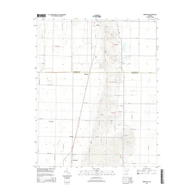
2014 Map of Greenfield
USGS Topo · Published 2014About this map
Crowley's Ridge rises prominently in the center of this landscape, creating a distinct topographical divide between the alluvial lowlands. The ridge provides the setting for several small communities and family burial grounds, including Ridge, Cary, and Houston Cem. To the west, the flat terrain of the Mississippi Embayment is drained by the L'Anguille River, where the town of Greenfield sits near the Poinsett and Craighead county line. This geography dictated the placement of early settlements and roads, with rural clusters like Mulligan and Gaulett following the natural breaks in the land. Genealogists will find numerous preserved sites of local interest, such as Mt Pisgah Cem and White Cem, located along the elevated terrain of Ar-163. The map also details water features like Ganaway Cr and Lonnie Jaynes Lake, reflecting the drainage patterns that have shaped this agricultural region for generations.
Find a feature on this map
83 named features on this map. Tap any name to fly to it.
Don’t see what you’re looking for? This feature index may not catch every label — zoom into the map to look around manually.
Map Details
Editions of this 2014 Greenfield Map
This is the sole edition of this map. No revisions or reprints were ever made.
Other maps of this area
1935 · Sedgwick
USGS Topo · 1:62,500
1939 · Weiner
USGS Topo · 1:62,500
1939 · Jonesboro
USGS Topo · 1:62,500
1940 · Dee
USGS Topo · 1:62,500

1953 · Memphis
USGS Topo · 1:250,000
1956 · Memphis
USGS Topo · 1:250,000
1958 · Dee
USGS Topo · 1:62,500
1958 · Jonesboro
USGS Topo · 1:62,500
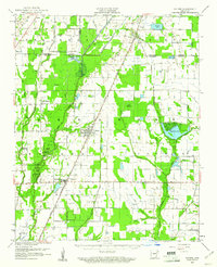
1959 · Weiner
USGS Topo · 1:62,500
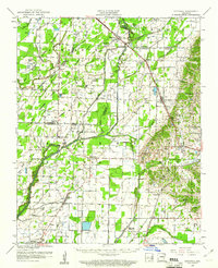
1959 · Sedgwick
USGS Topo · 1:62,500