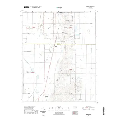
2020 Map of Greenfield
USGS Topo · Published 2020About this map
Jonesboro sits at the northern edge of this landscape, where the transition from the flatlands to the elevated terrain of the Ridge defines the local geography. Small rural settlements like Greenfield, Mulligan, and Gaulett are scattered across the plains, often positioned near the L'Anguille River or its various tributaries such as Big Cr and Barker Cr. The map reveals a high density of rural burial grounds, including Mount Pisgah Cem, White Cem, and Wilson Cem, which serve as key landmarks for local genealogy and land-use history. The presence of the Crowley Ridge Cutoff indicates significant hydraulic engineering in the region's drainage system. This survey also captures the boundary between Craighead Co and Poinsett Co, illustrating how these historical county lines intersect with a grid of country roads like Harrisburg Rd and Stadium Blvd.
Find a feature on this map
78 named features on this map. Tap any name to fly to it.
Don’t see what you’re looking for? This feature index may not catch every label — zoom into the map to look around manually.
Map Details
Editions of this 2020 Greenfield Map
This is the sole edition of this map. No revisions or reprints were ever made.
Other maps of this area

1935 · Sedgwick
USGS Topo · 1:62,500

1939 · Weiner
USGS Topo · 1:62,500

1939 · Jonesboro
USGS Topo · 1:62,500

1940 · Dee
USGS Topo · 1:62,500

1953 · Memphis
USGS Topo · 1:250,000

1956 · Memphis
USGS Topo · 1:250,000

1958 · Dee
USGS Topo · 1:62,500

1958 · Jonesboro
USGS Topo · 1:62,500

1959 · Weiner
USGS Topo · 1:62,500

1959 · Sedgwick
USGS Topo · 1:62,500