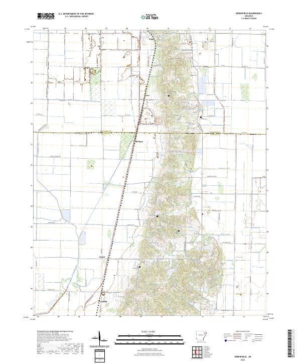
2024 Map of Greenfield
USGS Topo · Published 2024About this map
Crowleys Ridge rises above the flatlands of the Delta in this detailed contemporary mapping of the boundary between Craighead and Poinsett Counties. Small rural clusters and agricultural settlements like Cary, Mulligan, and Gaulett dot the landscape along the corridor of Stadium Blvd, while the southern edge is anchored by Greenfield. The map reveals a high density of rural burial sites, including Mount Pisgah Cem, Houston Cem, and Willis Cem, which serve as vital landmarks for local genealogical research. To the west, the L'Anguille River meanders through the low-lying fields, joined by tributaries such as Ganaway Creek and Barker Creek. This geography highlights the sharp contrast between the elevated, wooded terrain of the ridge and the surrounding level farmland defined by a network of rural roads like Harrisburg Rd and Senteney Rd.
Find a feature on this map
79 named features on this map. Tap any name to fly to it.
Don’t see what you’re looking for? This feature index may not catch every label — zoom into the map to look around manually.
Map Details
Editions of this 2024 Greenfield Map
This is the sole edition of this map. No revisions or reprints were ever made.
Historical Maps of Ridge Through Time
14 maps found

1940 Dee
Poinsett County, AR

1958 Dee
Poinsett County, AR
1980 Otwell
Poinsett County, AR
1980 Powers Slough
Poinsett County, AR
1980 Risher
Poinsett County, AR
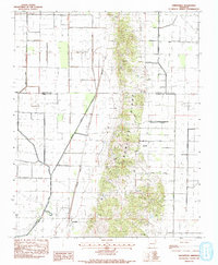
1983 Greenfield
Poinsett County, AR
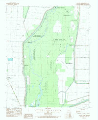
1983 Hatchie Coon
Poinsett County, AR
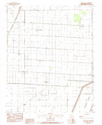
1983 Mc Cormick
Poinsett County, AR
2024 Greenfield
Poinsett County, AR
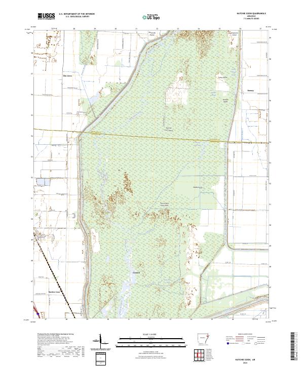
2024 Hatchie Coon
Poinsett County, AR
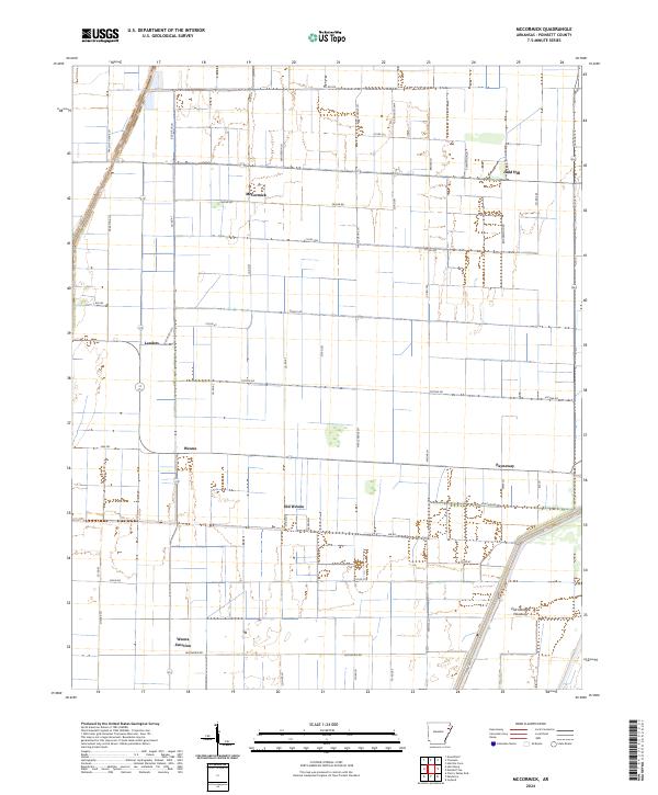
2024 McCormick
Poinsett County, AR
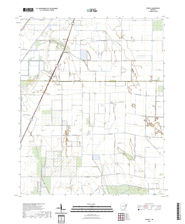
2024 Otwell
Poinsett County, AR
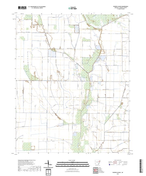
2024 Powers Slough
Poinsett County, AR
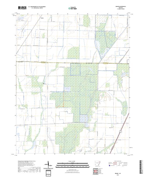
2024 Risher
Poinsett County, AR