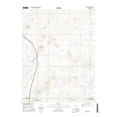
2016 Map of Greenland
USGS Topo · Published 2016About this map
The settlement of Greenland sits along the western edge of this Colorado survey, positioned where the Greenland Trail and the Old Territorial Road meet. This 2016 record illustrates a transition between the northern reach of Woodmoor and Black Forest at the El Paso and Douglas County line. The topography is defined by a series of prominent summits including Larkspur Butte, Rattlesnake Butte, and Lincoln Mountain, which overlook a complex network of reservoirs and gulches. To the east, the landscape becomes increasingly managed for water resources, featuring several detention facilities such as the West Cherry Creek Detention Number 7 Reservoir and the Franktown Parker FPA-5 Reservoir. The map also captures local-history landmarks like the Spring Valley Cemetery and specialized recreational routes like the Spruce Meadows Loop and Kipp's Loop, reflecting a landscape shared by historical ranching roots and modern residential expansion.
Find a feature on this map
81 named features on this map. Tap any name to fly to it.
Don’t see what you’re looking for? This feature index may not catch every label — zoom into the map to look around manually.
Map Details
Editions of this 2016 Greenland Map
This is the sole edition of this map. No revisions or reprints were ever made.
Other maps of this area
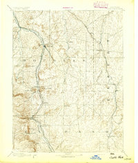
1894 · Castle Rock
USGS Topo · 1:125,000
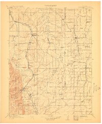
1913 · Castle Rock
USGS Topo · 1:125,000
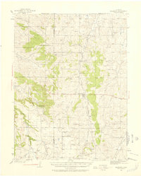
1939 · Elizabeth
USGS Topo · 1:62,500
1940 · Elbert
USGS Topo · 1:62,500
1940 · Castle Rock
USGS Topo · 1:62,500
1944 · Elbert
USGS Topo · 1:62,500
1945 · Castle Rock
USGS Topo · 1:62,500
1945 · Elizabeth
USGS Topo · 1:62,500
1953 · Denver
USGS Topo · 1:250,000
1954 · Cherry Valley School
USGS Topo · 1:24,000