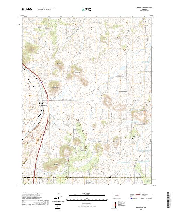
2022 Map of Greenland
USGS Topo · Published 2022About this map
Greenland serves as a central anchor in this portion of Douglas County, where the transition from high plains to prominent foothills is marked by a series of distinctively named summits. These elevations, including Larkspur Butte, Rattlesnake Butte, and Lincoln Mtn, define the topography and steer the local drainage of Carpenter Cr and Antelope Creek. The landscape is a mix of open range and modern water management, evidenced by several detention reservoirs along the eastern edge and the private Allis Reservoir near Bald Mtn. Local transit history is etched into the terrain via routes such as the Spruce Meadows Trl and Lincoln Mountain Trail Top Loop Trl, which navigate the complex relief. For researchers, the presence of the Spring Valley Cem near W Cherry Cr provides a specific site for genealogical study, while labels like Nemrick Butte and Corner Mtn offer fixed points of reference for tracing historic land boundaries.
Find a feature on this map
82 named features on this map. Tap any name to fly to it.
Don’t see what you’re looking for? This feature index may not catch every label — zoom into the map to look around manually.
Map Details
Editions of this 2022 Greenland Map
This is the sole edition of this map. No revisions or reprints were ever made.
Other maps of this area

1894 · Castle Rock
USGS Topo · 1:125,000

1913 · Castle Rock
USGS Topo · 1:125,000

1939 · Elizabeth
USGS Topo · 1:62,500

1940 · Elbert
USGS Topo · 1:62,500

1940 · Castle Rock
USGS Topo · 1:62,500

1944 · Elbert
USGS Topo · 1:62,500

1945 · Castle Rock
USGS Topo · 1:62,500

1945 · Elizabeth
USGS Topo · 1:62,500

1953 · Denver
USGS Topo · 1:250,000

1954 · Cherry Valley School
USGS Topo · 1:24,000