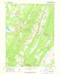
1967 Map of Greenland Gap
USGS Topo · Published 1972About this map
Allegheny Front and the distinctive ridgelines of Walker Ridge define the complex topography of this Grant County landscape in the late 1960s. The map captures a transition in land use, where the industrial presence of a strip mine, tipple, and several quarries exists alongside rural settlements like Bismarck and Greenland. The massive Mount Storm Lake dominates the northwestern section, contrasting with the narrow, natural passage of Greenland Gap where the North Fork Patterson Creek cuts through the mountains. Local life is centered around landmarks such as Locust Grove Ch and the Pigeonroost Lookout Tower, while the drainages of Abram Creek and New Creek provide the primary water network through the deep valleys and knobs.
Find a feature on this map
35 named features on this map. Tap any name to fly to it.
Don’t see what you’re looking for? This feature index may not catch every label — zoom into the map to look around manually.
Map Details
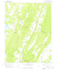
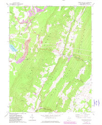
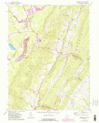
Editions of this 1967 Greenland Gap Map
4 editions found
Other maps of this area

1895 · Piedmont
USGS Topo · 1:125,000

1899 · Oakland
USGS Topo · 1:62,500

1900 · Oakland
USGS Topo · 1:62,500

1916 · Davis
USGS Topo · 1:48,000

1918 · Davis
USGS Topo · 1:62,500

1919 · Elk Garden
USGS Topo · 1:48,000

1919 · Davis
USGS Topo · 1:62,500

1920 · Elk Garden
USGS Topo · 1:48,000

1920 · Davis
USGS Topo · 1:48,000

1921 · Greenland Gap
USGS Topo · 1:62,500