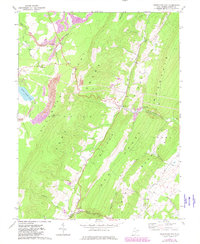
1967 Map of Greenland Gap
USGS Topo · Published 1982About this map
The Allegheny Front Knobs dominate this Grant County landscape, creating a striking transition between high-elevation terrain and the river valleys below. Following the 1981 photorevision, the map shows the industrial footprint of strip mines and quarries alongside the massive reservoir of Mount Storm Lake. Small settlements like Bismarck and Greenland are connected by winding mountain roads, while Pigeonroost Lookout Tower stands as a prominent sentinel on the ridge.
Find a feature on this map
34 named features on this map. Tap any name to fly to it.
Don’t see what you’re looking for? This feature index may not catch every label — zoom into the map to look around manually.
Map Details
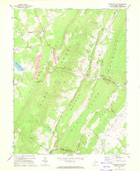
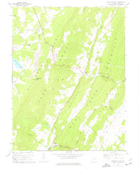
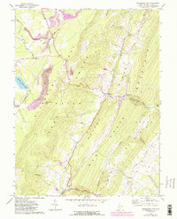
Editions of this 1967 Greenland Gap Map
4 editions found
Other maps of this area

1895 · Piedmont
USGS Topo · 1:125,000

1899 · Oakland
USGS Topo · 1:62,500

1900 · Oakland
USGS Topo · 1:62,500

1916 · Davis
USGS Topo · 1:48,000

1918 · Davis
USGS Topo · 1:62,500

1919 · Elk Garden
USGS Topo · 1:48,000

1919 · Davis
USGS Topo · 1:62,500

1920 · Elk Garden
USGS Topo · 1:48,000

1920 · Davis
USGS Topo · 1:48,000

1921 · Greenland Gap
USGS Topo · 1:62,500