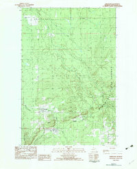
1982 Map of Greenland
USGS Topo · Published 1983About this map
The northern Michigan landscape of Ontonagon County is defined by its deep roots in the Copper Country mining era, as shown in this 1982 provisional survey. The village of Greenland and the nearby settlement of Mass serve as the primary hubs of human activity, situated at the base of Adventure Mountain. This area was a critical node in the region's mineral extraction history, evidenced by the presence of Lake Mine and the rail-oriented geography of Greenland Junction.
Find a feature on this map
23 named features on this map. Tap any name to fly to it.
Don’t see what you’re looking for? This feature index may not catch every label — zoom into the map to look around manually.
Map Details
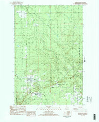
Editions of this 1982 Greenland Map
2 editions found
Other maps of this area

1949 · Rockland
USGS Topo · 1:62,500

1950 · Greenland
USGS Topo · 1:62,500

1951 · Rockland
USGS Topo · 1:62,500

1951 · Greenland
USGS Topo · 1:62,500

1954 · Rousseau
USGS Topo · 1:62,500

1954 · Winona
USGS Topo · 1:62,500

1958 · Iron River
USGS Topo · 1:250,000

1960 · Iron River
USGS Topo · 1:250,000

1961 · Iron River
USGS Topo · 1:250,000

1967 · Iron River
USGS Topo · 1:250,000