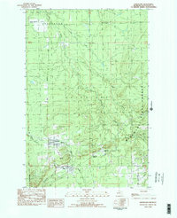
1982 Map of Greenland
USGS Topo · Published 1983About this map
Greenland and Mass anchor the southern portion of this northern Michigan landscape, reflecting the copper mining heritage of Ontonagon County in the early 1980s. The terrain is defined by the steep rise of Adventure Mountain and the surrounding woodlands of the Mishw Abic State Forest. Hydrology is central to the area's layout, with the Firesteel River, Adventure Creek, and McGuire Creek carving through the township boundaries. Beyond the primary settlements, numerous outposts like Abbott-Fox Camp, Camp 10, and Camp 11 point to the area's active timber and resource economy. For local historians, the placement of Maple Grove Cem and the rail-oriented Greenland Junction provides a clear view of how these communities were organized around the infrastructure of the mining and logging era.
Find a feature on this map
23 named features on this map. Tap any name to fly to it.
Don’t see what you’re looking for? This feature index may not catch every label — zoom into the map to look around manually.
Map Details
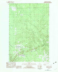
Editions of this 1982 Greenland Map
2 editions found
Other maps of this area

1949 · Rockland
USGS Topo · 1:62,500

1950 · Greenland
USGS Topo · 1:62,500

1951 · Rockland
USGS Topo · 1:62,500

1951 · Greenland
USGS Topo · 1:62,500

1954 · Rousseau
USGS Topo · 1:62,500

1954 · Winona
USGS Topo · 1:62,500

1958 · Iron River
USGS Topo · 1:250,000

1960 · Iron River
USGS Topo · 1:250,000

1961 · Iron River
USGS Topo · 1:250,000

1967 · Iron River
USGS Topo · 1:250,000