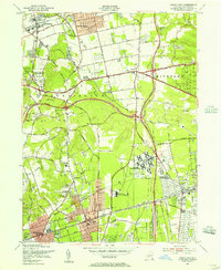
1954 Map of Greenlawn
USGS Topo · Published 1956About this map
Long Island's mid-century expansion is captured here during a transitional era for western Suffolk County. The landscape is defined by the massive infrastructure of the Pilgrim State Hospital complex and the sprawling networks of the Northern State Parkway and Sagtikos State Parkway. In the southern reaches, Deer Park and Wyandanch cluster around the Long Island Railroad, while the northern area shows the established residential patterns of Greenlawn and East Northport.
Find a feature on this map
45 named features on this map. Tap any name to fly to it.
Don’t see what you’re looking for? This feature index may not catch every label — zoom into the map to look around manually.
Map Details
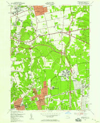
Editions of this 1954 Greenlawn Map
2 editions found
Other maps of this area

1901 · Babylon
USGS Topo · 1:62,500

1901 · Northport
USGS Topo · 1:62,500

1902 · Setauket
USGS Topo · 1:62,500

1902 · Fire Island
USGS Topo · 1:62,500

1903 · Babylon
USGS Topo · 1:62,500

1903 · Northport
USGS Topo · 1:62,500

1903 · Fire Island
USGS Topo · 1:62,500

1904 · Setauket
USGS Topo · 1:62,500

1904 · Islip
USGS Topo · 1:125,000

1919 · Setauket
USGS Topo · 1:62,500