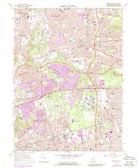
1967 Map of Greenlawn
USGS Topo · Published 1988About this map
The Pilgrim State Hospital complex and its extensive infrastructure dominate the central landscape of this western Suffolk County survey, situated between the growing suburban centers of Commack and Brentwood. This mid-century view documents the rapid expansion of residential tracts across the Dix Hills and Half Hollow Hills, where purple-tinted revisions highlight the conversion of former woodlots and fields into densely mapped housing developments.
Find a feature on this map
91 named features on this map. Tap any name to fly to it.
Don’t see what you’re looking for? This feature index may not catch every label — zoom into the map to look around manually.
Map Details
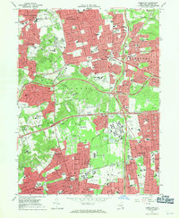
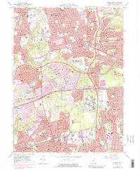
Editions of this 1967 Greenlawn Map
3 editions found
Other maps of this area

1901 · Babylon
USGS Topo · 1:62,500

1901 · Northport
USGS Topo · 1:62,500

1902 · Setauket
USGS Topo · 1:62,500

1902 · Fire Island
USGS Topo · 1:62,500

1903 · Babylon
USGS Topo · 1:62,500

1903 · Northport
USGS Topo · 1:62,500

1903 · Fire Island
USGS Topo · 1:62,500

1904 · Setauket
USGS Topo · 1:62,500

1904 · Islip
USGS Topo · 1:125,000

1919 · Setauket
USGS Topo · 1:62,500