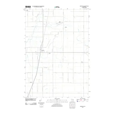
2010 Map of Greenleaf
USGS Topo · Published 2010About this map
Greenleaf stands as a central settlement in this Brown County landscape, where the agricultural grid is intersected by the winding paths of the East River and Branch River. The map illustrates a community defined by its rural infrastructure, featuring landmarks such as the Antique Classic Airport and the Hilly Haven Golf Course. Notable for local historians and genealogists, the area preserves several dedicated sites of memory and worship, including Fairview Cemetery, Saint Johns Cemetery, and the corridor along Saint Pats Church Rd.
Find a feature on this map
47 named features on this map. Tap any name to fly to it.
Don’t see what you’re looking for? This feature index may not catch every label — zoom into the map to look around manually.
Map Details
Editions of this 2010 Greenleaf Map
This is the sole edition of this map. No revisions or reprints were ever made.
Other maps of this area

1954 · De Pere
USGS Topo · 1:62,500

1954 · Denmark
USGS Topo · 1:62,500

1954 · De Pere
USGS Topo · 1:24,000

1954 · Chilton
USGS Topo · 1:62,500

1954 · Reedsville
USGS Topo · 1:62,500

1954 · Manitowoc
USGS Topo · 1:250,000

1954 · Bellevue
USGS Topo · 1:24,000

1955 · Green Bay
USGS Topo · 1:250,000

1958 · Manitowoc
USGS Topo · 1:250,000

1974 · Hilbert
USGS Topo · 1:24,000