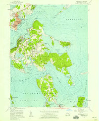
1956 Map of Greenport
USGS Topo · Published 1958About this map
Greenport and Shelter Island dominate this mid-century survey of the Peconic Bay region, illustrating the intricate relationship between maritime commerce and seasonal resort life. The Long Island RR terminates at the Greenport Harbor waterfront, where the Town Hall and Union Sch anchor the village center. Across the channel, Shelter Island Heights and Dering Harbor show a landscape of winding roads, golf courses, and coastal landings, including the Beach Club Pt.
Find a feature on this map
95 named features on this map. Tap any name to fly to it.
Don’t see what you’re looking for? This feature index may not catch every label — zoom into the map to look around manually.
Map Details
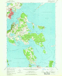
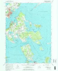
Editions of this 1956 Greenport Map
3 editions found
Other maps of this area

1903 · Sag Harbor
USGS Topo · 1:62,500

1903 · Gardiners Island
USGS Topo · 1:62,500

1904 · Sag Harbor
USGS Topo · 1:62,500

1904 · Shelter Island
USGS Topo · 1:62,500

1904 · Easthampton
USGS Topo · 1:62,500

1904 · Gardiners Island
USGS Topo · 1:62,500

1921 · Gardiners Island
USGS Topo · 1:62,500

1921 · Easthampton
USGS Topo · 1:62,500

1944 · Gardiners Island West
USGS Topo · 1:24,000

1946 · Sag Harbor
USGS Topo · 1:24,000