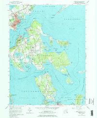
1956 Map of Greenport
USGS Topo · Published 1969About this map
Shelter Island and the Greenport maritime district appear in this 1950s survey, illustrating the intricate coastline of New York's East End. The landscape is defined by its dependency on water transport and rail connections, anchored by the Long Island RR terminal and the Dering Harbor ferry crossing. The settlement of Shelter Island Heights and North Haven are shown with their mid-century road networks, while the interior of the island remains punctuated by local landmarks like the Quaker Cemetery and Fresh Pond. Coastal features like the Long Beach Bar Lighthouse and the expanse of Orient Beach State Park frame the deep-water access points of Greenport Harbor and Gardiners Bay. The map captures a moment when traditional maritime industries and growing seasonal residency shared the shoreline, from the boat slips of Stirling to the early conservation boundaries of the Morton National Wildlife Refuge.
Find a feature on this map
124 named features on this map. Tap any name to fly to it.
Don’t see what you’re looking for? This feature index may not catch every label — zoom into the map to look around manually.
Map Details
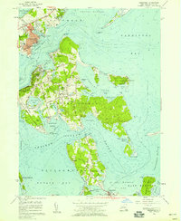
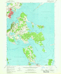
Editions of this 1956 Greenport Map
3 editions found
Other maps of this area

1903 · Sag Harbor
USGS Topo · 1:62,500

1903 · Gardiners Island
USGS Topo · 1:62,500

1904 · Sag Harbor
USGS Topo · 1:62,500

1904 · Shelter Island
USGS Topo · 1:62,500

1904 · Easthampton
USGS Topo · 1:62,500

1904 · Gardiners Island
USGS Topo · 1:62,500

1921 · Gardiners Island
USGS Topo · 1:62,500

1921 · Easthampton
USGS Topo · 1:62,500

1944 · Gardiners Island West
USGS Topo · 1:24,000

1946 · Sag Harbor
USGS Topo · 1:24,000