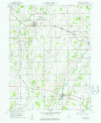
1960 Map of Greens Fork
USGS Topo · Published 1961About this map
Greens Fork and the rural townships of Perry, Greene, and Jefferson define this Wayne County landscape at the start of the 1960s. The map illustrates a dense network of country roads named for local families, such as Mendenhall Road, Swoveland Road, and W. E. Oler Road, reflecting a long-established agricultural community. A significant historical marker is the Old Indian Treaty Bdy cutting across the northwest corner, a remnant of early frontier surveying that still influenced property lines and land use into the mid-20th century.
Find a feature on this map
63 named features on this map. Tap any name to fly to it.
Don’t see what you’re looking for? This feature index may not catch every label — zoom into the map to look around manually.
Map Details
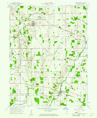
Editions of this 1960 Greens Fork Map
2 editions found
Other maps of this area

1915 · New Paris
USGS Topo · 1:48,000

1916 · Winchester
USGS Topo · 1:48,000

1918 · Winchester
USGS Topo · 1:62,500

1918 · New Paris
USGS Topo · 1:62,500

1943 · Winchester
USGS Topo · 1:62,500

1953 · Cincinnati
USGS Topo · 1:250,000

1953 · Muncie
USGS Topo · 1:250,000

1956 · Muncie
USGS Topo · 1:250,000

1957 · Cincinnati
USGS Topo · 1:250,000

1960 · Carlos
USGS Topo · 1:24,000