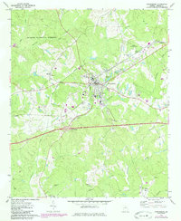
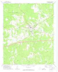
1972 Map of Greensboro
USGS Topo · Published 1985About this map
Greensboro serves as the focal point of this Greene County landscape, situated at the junction of the Seaboard railroad and a developing highway network. The map illustrates a transitional period for the area, with 1980s revisions in purple showing significant infrastructure growth around the Interchange 53 corridor. Beyond the town center, the terrain is defined by the Oconee National Forest and numerous watercourses like Richland Creek and Town Creek which feed into Lake Oconee at the western edge.
Find a feature on this map
37 named features on this map. Tap any name to fly to it.
Don’t see what you’re looking for? This feature index may not catch every label — zoom into the map to look around manually.
Map Details
Editions of this 1972 Greensboro Map
2 editions found
Other maps of this area

1953 · Athens
USGS Topo · 1:250,000

1958 · Athens
USGS Topo · 1:250,000

1959 · Athens
USGS Topo · 1:250,000

1963 · Athens
USGS Topo · 1:250,000

1965 · Woodville
USGS Topo · 1:24,000

1965 · Union Point
USGS Topo · 1:24,000

1972 · Penfield
USGS Topo · 1:24,000

1972 · Liberty
USGS Topo · 1:24,000

1972 · Buckhead
USGS Topo · 1:24,000

1972 · Harmony
USGS Topo · 1:24,000