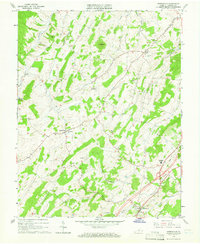
1964 Map of Greenville
USGS Topo · Published 1966About this map
The headwaters of the Middle River and the South River define the undulating landscape of Augusta County in the mid-1960s. The village of Middlebrook sits as a central crossroads, anchored by the Holy Trinity Ch and providing a gateway to the numerous family-named landmarks and rural congregations that dot the hillsides. The mapping reflects a stable agricultural community where fine red dashed lines capture contemporary fence and field divisions, visible from aerial photography taken in 1963.
Find a feature on this map
31 named features on this map. Tap any name to fly to it.
Don’t see what you’re looking for? This feature index may not catch every label — zoom into the map to look around manually.
Map Details
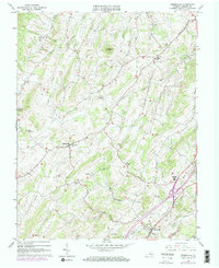
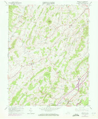
Editions of this 1964 Greenville Map
Other maps of this area

1894 · Staunton
USGS Topo · 1:125,000

1894 · Lexington
USGS Topo · 1:125,000

1932 · Lexington
USGS Topo · 1:48,000

1936 · Vesuvius
USGS Topo · 1:48,000

1937 · Lexington
USGS Topo · 1:62,500

1941 · Vesuvius
USGS Topo · 1:62,500

1943 · Craigsville
USGS Topo · 1:62,500

1944 · Staunton
USGS Topo · 1:62,500

1945 · Craigsville
USGS Topo · 1:62,500

1947 · Staunton
USGS Topo · 1:62,500