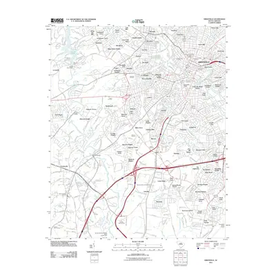
2011 Map of Greenville
USGS Topo · Published 2011About this map
Greenville serves as the focal point of this South Carolina study, where the historical footprint of Furman University and the Furman University Womens College are clearly visible. The urban landscape is marked by long-standing industrial markers like Mills Mill and significant local burial sites, including the central Springwood Cemetery and Christ Church Cemetery. The topography is defined by the Saluda River to the west, controlled by the Saluda Dam, and the Reedy River flowing through the city's heart. Settlement patterns show established residential developments like City View and Alta Vista, while the southern reaches are dominated by the Donaldson Center Airport. This survey provides a precise look at the rail infrastructure of the P And N Rr and various thoroughfares such as Old Piedmont Hwy, capturing the city's modern layout while preserving the names of the family cemeteries and neighborhoods that established its 19th and 20th-century roots.
Find a feature on this map
112 named features on this map. Tap any name to fly to it.
Don’t see what you’re looking for? This feature index may not catch every label — zoom into the map to look around manually.
Map Details
Editions of this 2011 Greenville Map
This is the sole edition of this map. No revisions or reprints were ever made.
Other maps of this area

1888 · Pickens
USGS Topo · 1:125,000

1894 · Pickens
USGS Topo · 1:125,000

1935 · Greenville
USGS Topo · 1:48,000

1938 · Greenville
USGS Topo · 1:62,500

1954 · Greenville
USGS Topo · 1:250,000

1957 · Greenville
USGS Topo · 1:24,000

1957 · Anderson
USGS Topo · 1:62,500

1957 · Easley
USGS Topo · 1:62,500

1957 · Williamston
USGS Topo · 1:62,500

1957 · Greenville
USGS Topo · 1:62,500