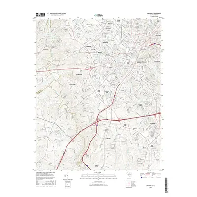
2017 Map of Greenville
USGS Topo · Published 2017About this map
Greenville serves as the central hub of this South Carolina study, where the Reedy River winds through the city center, highlighted by the landmark Reedy River Falls. The map documents a complex urban and suburban landscape, revealing a dense network of neighborhoods such as Sans Souci, Nicholtown, and Univ Ridge. For genealogists, several prominent burial grounds are located, including the downtown Springwood Cem and Christ Church Cem near the city core, as well as Graceland Cem to the west.
Find a feature on this map
62 named features on this map. Tap any name to fly to it.
Don’t see what you’re looking for? This feature index may not catch every label — zoom into the map to look around manually.
Map Details
Editions of this 2017 Greenville Map
This is the sole edition of this map. No revisions or reprints were ever made.
Other maps of this area

1888 · Pickens
USGS Topo · 1:125,000

1894 · Pickens
USGS Topo · 1:125,000

1935 · Greenville
USGS Topo · 1:48,000

1938 · Greenville
USGS Topo · 1:62,500

1954 · Greenville
USGS Topo · 1:250,000

1957 · Greenville
USGS Topo · 1:24,000

1957 · Anderson
USGS Topo · 1:62,500

1957 · Easley
USGS Topo · 1:62,500

1957 · Williamston
USGS Topo · 1:62,500

1957 · Greenville
USGS Topo · 1:62,500