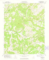
1971 Map of Greenville
USGS Topo · Published 1975About this map
Indian Creek and its many winding tributaries dictate the settlement patterns of this Monroe County landscape as it appeared in the early 1970s. The community of Greenville sits at a central crossing, surrounded by upland ridges like Ellison Ridge and peaks such as High Top. This survey reveals a high density of rural institutions essential to genealogists, including the Springfield Ch, Hans Creek Ch, and the Oak Grove Cem near Ballengee. The terrain is marked by the transition between the Wolf Creek and Springfield districts, where narrow valley floors support small hamlets like Wayside and Sarton. Transportation is defined by a network of winding local roads and a significant Pipeline corridor that cuts across the northern ridges, illustrating the modernization of this otherwise traditional Appalachian agricultural and woodland area.
Find a feature on this map
40 named features on this map. Tap any name to fly to it.
Don’t see what you’re looking for? This feature index may not catch every label — zoom into the map to look around manually.
Map Details
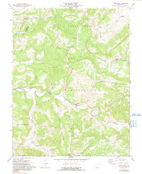
Editions of this 1971 Greenville Map
2 editions found
Other maps of this area

1887 · Hinton
USGS Topo · 1:125,000

1890 · Dublin
USGS Topo · 1:125,000

1891 · Dublin
USGS Topo · 1:125,000

1892 · Hinton
USGS Topo · 1:125,000

1912 · Big Bend
USGS Topo · 1:62,500

1913 · Peterstown
USGS Topo · 1:48,000

1914 · Big Bend
USGS Topo · 1:62,500

1916 · Peterstown
USGS Topo · 1:62,500

1921 · Alderson
USGS Topo · 1:48,000

1923 · Pearisburg
USGS Topo · 1:62,500