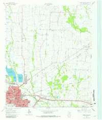
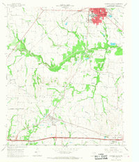
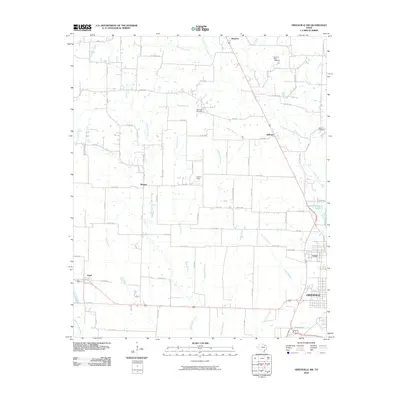
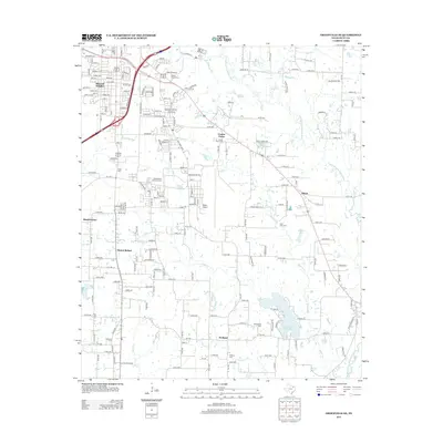
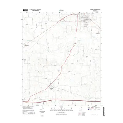
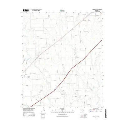
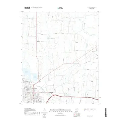
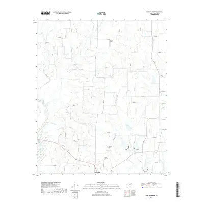
1963 Map of Greenville NE
USGS Topo · Published 1981About this map
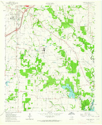
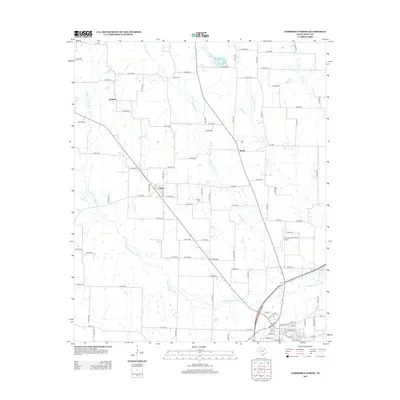
Greenville serves as the focal point for this Hunt County survey, showing the city's complex rail hub and water management system in the early 1960s. The city's grid is dense with civic infrastructure, including Washington Sch, Travis Sch, and the Court House. A series of water works, notably Greenville Reservoir No 4 and Greenville Reservoir No 5, flank the western edge of town near the Filtration Plant. This era records the transition of regional transportation, where the St Louis Southwestern and Missouri Kansas And Texas lines intersect near an Old Railroad Grade.
Find a feature on this map
49 named features on this map. Tap any name to fly to it.
Don’t see what you’re looking for? This feature index may not catch every label — zoom into the map to look around manually.
Map Details
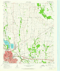
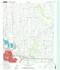
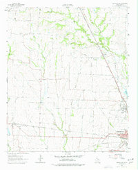
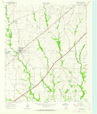
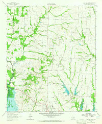
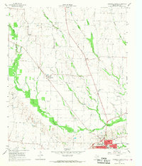
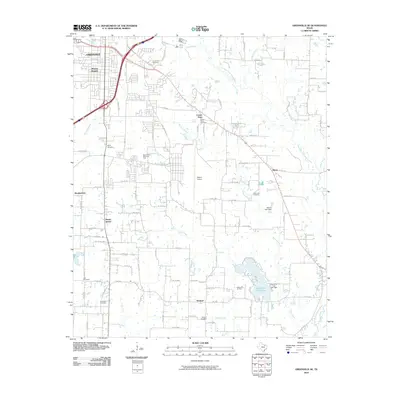
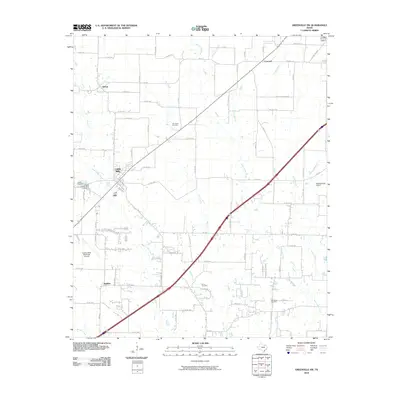
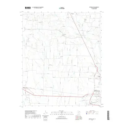
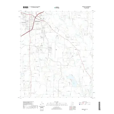
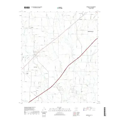
Editions of this 1963 Greenville NE Map
Historical Maps of Greenville Through Time
42 maps found
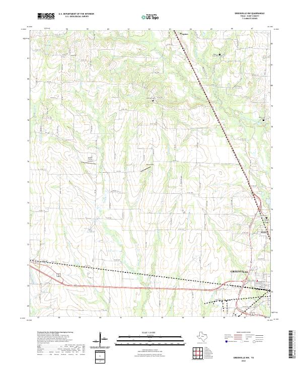
1962 Greenville NW
Hunt County, TX
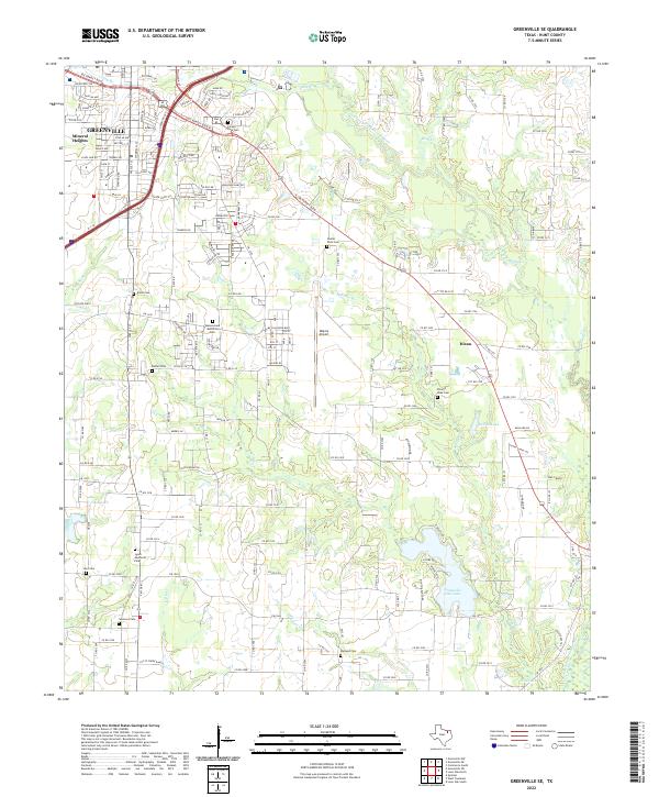
1962 Greenville SE
Hunt County, TX
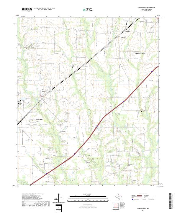
1962 Greenville SW
Hunt County, TX
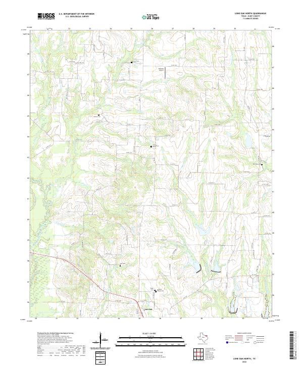
1962 Lone Oak North
Hunt County, TX
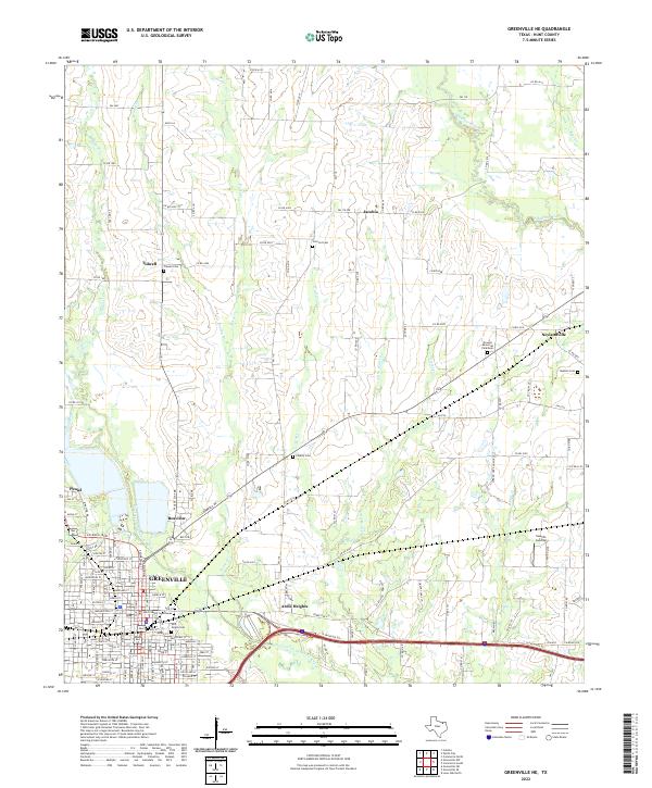
1963 Greenville NE
Hunt County, TX
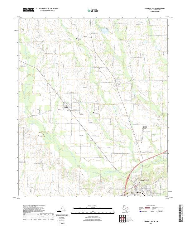
1964 Commerce North
Hunt County, TX
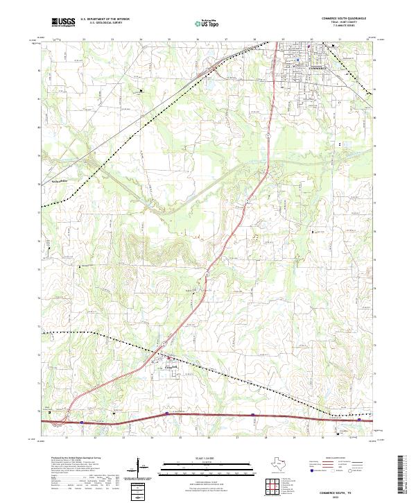
1964 Commerce South
Hunt County, TX
2010 Commerce North
Hunt County, TX
2010 Commerce South
Hunt County, TX
2010 Greenville NE
Hunt County, TX
2010 Greenville NW
Hunt County, TX
2010 Greenville SE
Hunt County, TX
2010 Greenville SW
Hunt County, TX
2010 Lone Oak North
Hunt County, TX
2013 Commerce North
Hunt County, TX
2013 Commerce South
Hunt County, TX
2013 Greenville NE
Hunt County, TX
2013 Greenville NW
Hunt County, TX
2013 Greenville SE
Hunt County, TX
2013 Greenville SW
Hunt County, TX
2013 Lone Oak North
Hunt County, TX
2016 Commerce North
Hunt County, TX
2016 Commerce South
Hunt County, TX
2016 Greenville NE
Hunt County, TX
2016 Greenville NW
Hunt County, TX
2016 Greenville SE
Hunt County, TX
2016 Greenville SW
Hunt County, TX
2016 Lone Oak North
Hunt County, TX
2019 Commerce North
Hunt County, TX
2019 Commerce South
Hunt County, TX
2019 Greenville NE
Hunt County, TX
2019 Greenville NW
Hunt County, TX
2019 Greenville SE
Hunt County, TX
2019 Greenville SW
Hunt County, TX
2019 Lone Oak North
Hunt County, TX
2022 Commerce North
Hunt County, TX
2022 Commerce South
Hunt County, TX
2022 Greenville NE
Hunt County, TX
2022 Greenville NW
Hunt County, TX
2022 Greenville SE
Hunt County, TX
2022 Greenville SW
Hunt County, TX
2022 Lone Oak North
Hunt County, TX