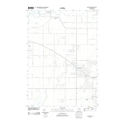
2010 Map of Greenville
USGS Topo · Published 2010About this map
Greenville and the surrounding township show a landscape defined by the convergence of aviation, agriculture, and a winding hydrographic network. This 2010 USGS study captures a period of modern growth, where suburban road patterns intersect with long-established rural features like Saint Patricks Cemetery and Ellington Cemetery. The northern reaches are dominated by the Wolf River and Bear Creek, while the southeastern corner is anchored by the infrastructure of the Outagamie County Airport.
Find a feature on this map
28 named features on this map. Tap any name to fly to it.
Don’t see what you’re looking for? This feature index may not catch every label — zoom into the map to look around manually.
Map Details
Editions of this 2010 Greenville Map
This is the sole edition of this map. No revisions or reprints were ever made.
Other maps of this area

1911 · Neenah
USGS Topo · 1:62,500

1955 · Neenah
USGS Topo · 1:62,500

1955 · Appleton
USGS Topo · 1:24,000

1955 · Appleton
USGS Topo · 1:62,500

1955 · Neenah
USGS Topo · 1:24,000

1955 · Green Bay
USGS Topo · 1:250,000

1956 · New London
USGS Topo · 1:48,000

1961 · Oshkosh
USGS Topo · 1:62,500

1961 · Oshkosh NE
USGS Topo · 1:24,000

1961 · Oshkosh NW
USGS Topo · 1:24,000