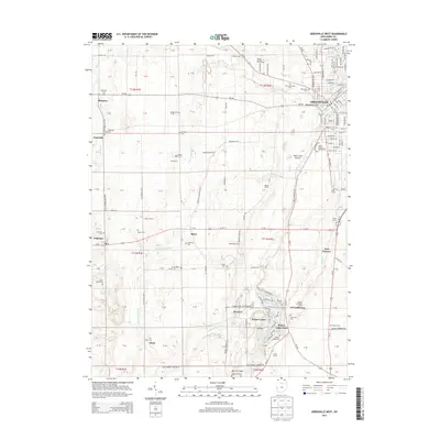
2013 Map of Greenville West
USGS Topo · Published 2013About this map
Fort Jefferson and the surrounding agricultural landscape of western Darke County are meticulously documented in this contemporary survey. The map details the transition from the city of Greenville toward the Indiana border, passing through small hamlets like Palestine and Sharpeye. A notable concentration of family and community burial grounds, including the Sharpeye Cem, Saint Johns Cem, and Oak Grove Cem, provides significant data for genealogical research.
Find a feature on this map
135 named features on this map. Tap any name to fly to it.
Don’t see what you’re looking for? This feature index may not catch every label — zoom into the map to look around manually.
Map Details
Editions of this 2013 Greenville West Map
This is the sole edition of this map. No revisions or reprints were ever made.
Other maps of this area

1915 · New Paris
USGS Topo · 1:48,000

1916 · Winchester
USGS Topo · 1:48,000

1918 · Winchester
USGS Topo · 1:62,500

1918 · New Paris
USGS Topo · 1:62,500

1943 · Winchester
USGS Topo · 1:62,500

1953 · Cincinnati
USGS Topo · 1:250,000

1953 · Muncie
USGS Topo · 1:250,000

1956 · Muncie
USGS Topo · 1:250,000

1957 · Cincinnati
USGS Topo · 1:250,000

1960 · Union City
USGS Topo · 1:24,000