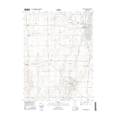
2016 Map of Greenville West
USGS Topo · Published 2016About this map
Greenville serves as the focal point of this western Darke County landscape, with residential growth stretching toward Tecumsehs Point and the banks of Greenville Creek. To the southwest, the village of Fort Jefferson and the recreational waters of Wayne Lakes and Wayne Lakes Park reveal a cluster of development and family leisure areas. This agricultural corridor is heavily marked by its genealogical record, featuring numerous burying grounds such as West Branch Cem, Nashville Cem, and New Greenville Cem.
Find a feature on this map
121 named features on this map. Tap any name to fly to it.
Don’t see what you’re looking for? This feature index may not catch every label — zoom into the map to look around manually.
Map Details
Editions of this 2016 Greenville West Map
This is the sole edition of this map. No revisions or reprints were ever made.
Other maps of this area

1915 · New Paris
USGS Topo · 1:48,000

1916 · Winchester
USGS Topo · 1:48,000

1918 · Winchester
USGS Topo · 1:62,500

1918 · New Paris
USGS Topo · 1:62,500

1943 · Winchester
USGS Topo · 1:62,500

1953 · Cincinnati
USGS Topo · 1:250,000

1953 · Muncie
USGS Topo · 1:250,000

1956 · Muncie
USGS Topo · 1:250,000

1957 · Cincinnati
USGS Topo · 1:250,000

1960 · Union City
USGS Topo · 1:24,000