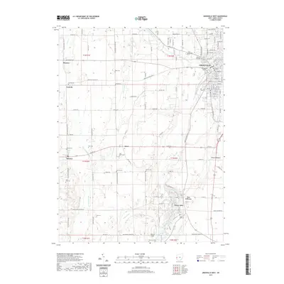
2019 Map of Greenville West
USGS Topo · Published 2019About this map
The Darke County Courthouse stands at the heart of Greenville, the dominant settlement in this 2019 survey of Western Ohio. The landscape is characterized by a high concentration of family and community burial grounds, such as Nashville Cem, Heller Cem, and Palestine Cem, which serve as permanent markers of long-established agricultural heritage. North of the city, Tecumsehs Point is situated near the confluence where Greenville Creek meets Mud Cr. Further south, the community of Wayne Lakes sits among numerous small water bodies and the Wayne Lakes Cem, while Fort Jefferson marks a significant historical node in the local road network. The area’s hydrology is defined by branching systems like W Br Greenville Cr and Kraut Cr, which cut through the level terrain between settlements like Sharpeye and Palestine.
Find a feature on this map
121 named features on this map. Tap any name to fly to it.
Don’t see what you’re looking for? This feature index may not catch every label — zoom into the map to look around manually.
Map Details
Editions of this 2019 Greenville West Map
This is the sole edition of this map. No revisions or reprints were ever made.
Other maps of this area

1915 · New Paris
USGS Topo · 1:48,000

1916 · Winchester
USGS Topo · 1:48,000

1918 · Winchester
USGS Topo · 1:62,500

1918 · New Paris
USGS Topo · 1:62,500

1943 · Winchester
USGS Topo · 1:62,500

1953 · Cincinnati
USGS Topo · 1:250,000

1953 · Muncie
USGS Topo · 1:250,000

1956 · Muncie
USGS Topo · 1:250,000

1957 · Cincinnati
USGS Topo · 1:250,000

1960 · Union City
USGS Topo · 1:24,000