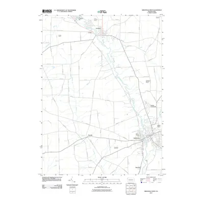
2010 Map of Greenville West
USGS Topo · Published 2010About this map
Greenville serves as the focal point of this western Pennsylvania landscape, where the confluence of the Shenango River and Little Shenango River shaped the local settlement patterns. The river valley is a hub of connectivity, with significant aviation infrastructure at the Greenville Municipal Airport and the smaller Holsing Airport to the northwest. This 2010 topographic record documents the residential and industrial corridors extending from the town center toward smaller communities like Shenango and Donner Crossroads.
Find a feature on this map
75 named features on this map. Tap any name to fly to it.
Don’t see what you’re looking for? This feature index may not catch every label — zoom into the map to look around manually.
Map Details
Editions of this 2010 Greenville West Map
This is the sole edition of this map. No revisions or reprints were ever made.
Other maps of this area

1905 · Andover
USGS Topo · 1:48,000

1906 · Linesville
USGS Topo · 1:62,500

1907 · Andover
USGS Topo · 1:62,500

1907 · Kinsman
USGS Topo · 1:62,500

1908 · Shenango
USGS Topo · 1:62,500

1908 · Linesville
USGS Topo · 1:62,500

1950 · Cleveland
USGS Topo · 1:250,000

1956 · Cleveland
USGS Topo · 1:250,000

1958 · Sharpsville
USGS Topo · 1:24,000

1958 · Greensville West
USGS Topo · 1:24,000
Featured Places
- Greenville, PA
- Shenango, West Salem Township
- Jamestown, PA
- West Salem Township, PA
- South Shenango Township, PA