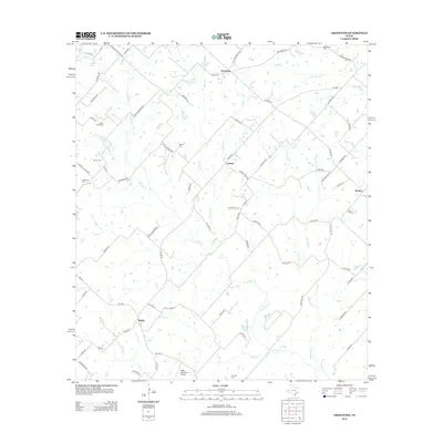
2013 Map of Greenvine
USGS Topo · Published 2013About this map
The small settlements of Greenvine and Latium anchor this rural landscape in Washington County, where agricultural patterns are deeply intertwined with the winding courses of W Mill Cr and Brushy Cr. The area is notably dense with family and community burial grounds, including the Latium Cem, Mayer Cem, and Schmidt Cem, reflecting a long history of generational land ownership. Transportation across the rolling plains is defined by a network of farm-to-market roads and local lanes such as Boundary School Rd and Latium Cemetery Rd. Near the southern boundary, the Rabb and Nobra Airport serves as a small aviation landmark amidst the drainages of Skull Cr and Jones Cr. This survey illustrates a quiet Texas interior where the legacy of early settlers is preserved through named landmarks and scattered homesteads.
Find a feature on this map
76 named features on this map. Tap any name to fly to it.
Don’t see what you’re looking for? This feature index may not catch every label — zoom into the map to look around manually.
Map Details
Editions of this 2013 Greenvine Map
This is the sole edition of this map. No revisions or reprints were ever made.
Other maps of this area

1919 · Fayettsville
USGS Topo · 1:62,500

1930 · Brenham
USGS Topo · 1:62,500

1953 · Seguin
USGS Topo · 1:250,000

1954 · Austin
USGS Topo · 1:250,000

1956 · Bellville
USGS Topo · 1:62,500

1956 · Brenham
USGS Topo · 1:62,500

1958 · Seguin
USGS Topo · 1:250,000

1958 · Industry
USGS Topo · 1:24,000

1958 · Greenvine
USGS Topo · 1:24,000

1958 · Carmine
USGS Topo · 1:24,000