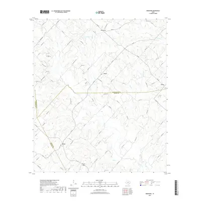
2019 Map of Greenvine
USGS Topo · Published 2019About this map
Greenvine and Latium anchor this rural landscape where the borders of Washington, Austin, and Fayette Counties meet. The terrain is defined by a dense network of country roads such as Wickel Rd and Sawhill Rd, which connect small agrarian communities. For genealogists, the map is particularly detailed, showing numerous family-named burial sites including the Jaeger-Witte Cem, Mayer Cem, and Schmidt Cem. The drainage patterns of W Mill Cr and Skull Cr carve through the land, shaping the settlement patterns of towns like Shelby and Wesley. This survey documents a quiet interior section of the Texas coastal plain where heritage sites are often preserved along quiet thoroughfares like Latium Cemetery Rd.
Find a feature on this map
77 named features on this map. Tap any name to fly to it.
Don’t see what you’re looking for? This feature index may not catch every label — zoom into the map to look around manually.
Map Details
Editions of this 2019 Greenvine Map
This is the sole edition of this map. No revisions or reprints were ever made.
Other maps of this area
1919 · Fayettsville
USGS Topo · 1:62,500
1930 · Brenham
USGS Topo · 1:62,500

1953 · Seguin
USGS Topo · 1:250,000

1954 · Austin
USGS Topo · 1:250,000
1956 · Bellville
USGS Topo · 1:62,500
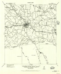
1956 · Brenham
USGS Topo · 1:62,500

1958 · Seguin
USGS Topo · 1:250,000
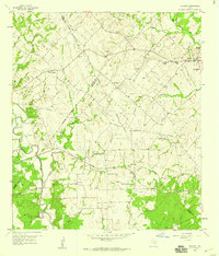
1958 · Industry
USGS Topo · 1:24,000
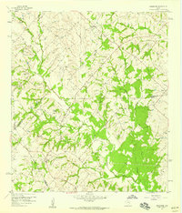
1958 · Greenvine
USGS Topo · 1:24,000
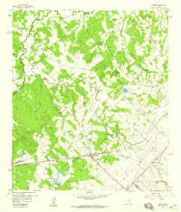
1958 · Carmine
USGS Topo · 1:24,000