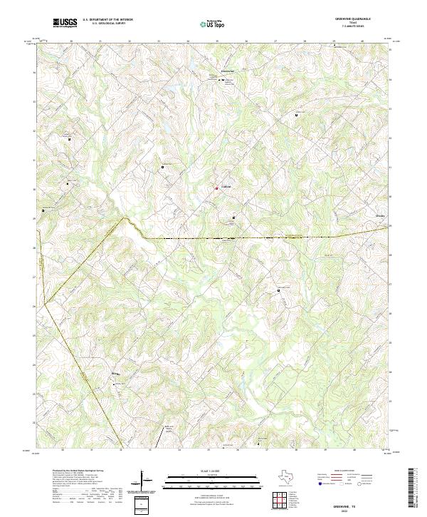
2022 Map of Greenvine
USGS Topo · Published 2022About this map
Greenvine and the surrounding rural landscape sit at the intersection of Washington, Austin, and Fayette counties, defined by a high density of nineteenth-century family and congregational burial grounds. The settlement pattern remains largely agricultural, anchored by the crossroads of Latium and Shelby. This terrain is drained by numerous winding waterways, including W Mill Cr, Brushy Cr, and Pond Cr, which historically dictated the placement of early farmsteads and transport routes.
Find a feature on this map
89 named features on this map. Tap any name to fly to it.
Don’t see what you’re looking for? This feature index may not catch every label — zoom into the map to look around manually.
Map Details
Editions of this 2022 Greenvine Map
This is the sole edition of this map. No revisions or reprints were ever made.
Other maps of this area

1919 · Fayettsville
USGS Topo · 1:62,500

1930 · Brenham
USGS Topo · 1:62,500

1953 · Seguin
USGS Topo · 1:250,000

1954 · Austin
USGS Topo · 1:250,000

1956 · Bellville
USGS Topo · 1:62,500

1956 · Brenham
USGS Topo · 1:62,500

1958 · Seguin
USGS Topo · 1:250,000

1958 · Industry
USGS Topo · 1:24,000

1958 · Greenvine
USGS Topo · 1:24,000

1958 · Carmine
USGS Topo · 1:24,000