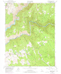
1949 Map of Greenwood
USGS Topo · Published 1977About this map
The Middle Fork American River and North Fork American River cut through the landscape of the Gold Country, where the boundaries of Placer Co and El Dorado Co meet. This survey captures a post-war view of an area shaped by a century of hydraulic and hard-rock mining, evidenced by the numerous mining claims and infrastructure. Deep canyons separate high points like Brushy Mountain and Summit Hill, while the Georgetown Divide Ditch and a prominent Pipe Line illustrate the complex water management systems required to support local industry and settlements. At Spanish Dry Diggings and Greenwood, the map records established communities amidst a terrain marked by named bars and flats. Genealogists can identify family-named landmarks such as Butcher Ranch and Penobscot Farm, while the presence of the Centennial Mine, Grit Mine, and Sliger Mine provides a detailed look at the region's mineral legacy during the mid-20th century.
Find a feature on this map
70 named features on this map. Tap any name to fly to it.
Don’t see what you’re looking for? This feature index may not catch every label — zoom into the map to look around manually.
Map Details
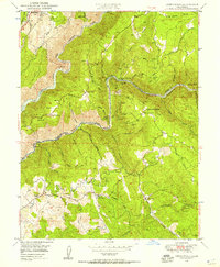
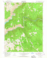
Editions of this 1949 Greenwood Map
3 editions found
Other maps of this area

1888 · Smartsville
USGS Topo · 1:125,000

1891 · Sacramento
USGS Topo · 1:125,000

1891 · Colfax
USGS Topo · 1:125,000

1891 · Smartsville
USGS Topo · 1:125,000

1891 · Placerville
USGS Topo · 1:125,000

1892 · Sacramento
USGS Topo · 1:125,000

1892 · Placerville
USGS Topo · 1:125,000

1892 · Smartsville
USGS Topo · 1:125,000

1892 · Colfax
USGS Topo · 1:125,000

1893 · Placerville
USGS Topo · 1:125,000