
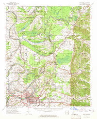
1957 Map of Greenwood
USGS Topo · Published 1957About this map
Greenwood anchors the confluence of the Yazoo River and the Yalobusha River in this 1957 survey by the Mississippi River Commission. The landscape is defined by the intricate hydrology of the Delta, where oxbow lakes like Sorghum Mill Lake and McIntyre Lake trace former river paths through Leflore County. The Illinois Central railroad lines serve as the spine of the region, connecting smaller agricultural stations and settlements such as Money, Ruby Sta, and Avalon.
Find a feature on this map
119 named features on this map. Tap any name to fly to it.
Don’t see what you’re looking for? This feature index may not catch every label — zoom into the map to look around manually.
Map Details
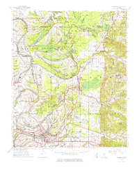
Editions of this 1957 Greenwood Map
3 editions found
Other maps of this area

1931 · Schlater
USGS Topo · 1:48,000

1931 · Sumner
USGS Topo · 1:48,000

1932 · Philipp
USGS Topo · 1:48,000

1934 · Schlater
USGS Topo · 1:62,500

1935 · Sumner
USGS Topo · 1:62,500

1935 · Philipp
USGS Topo · 1:62,500

1936 · Greenwood
USGS Topo · 1:62,500

1939 · Schlater
USGS Topo · 1:62,500

1939 · Sumner
USGS Topo · 1:62,500

1939 · Philipp
USGS Topo · 1:62,500