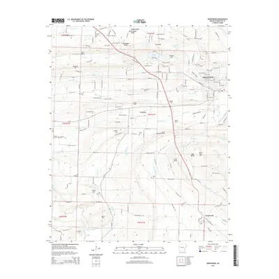
2014 Map of Greenwood
USGS Topo · Published 2014About this map
The Bonanza Gas Field anchors the northwestern corner of this Sebastian County landscape, where the ridges of the Ouachita foothills dictate the pattern of human settlement. The city of Greenwood sits as a regional hub near the eastern edge, while smaller communities like Jenny Lind, Excelsior, and Witcherville are spaced along the valley floors. The complex topography is defined by the prominent Backbone Mtn and Devils Backbone Ridge, which separate the various creek drainages including Heartsill Cr and Mackenay Cr. Genealogists will find a high density of small family and community burial grounds throughout the area, such as Douglass Cem, Lovelace Cem, and Mt Zineche Cem. This modern survey illustrates the enduring relationship between the steep timbered ridges and the pockets of agricultural and residential development that follow the winding paths of Us-71 and the local Arkansas state routes.
Find a feature on this map
57 named features on this map. Tap any name to fly to it.
Don’t see what you’re looking for? This feature index may not catch every label — zoom into the map to look around manually.
Map Details
Editions of this 2014 Greenwood Map
This is the sole edition of this map. No revisions or reprints were ever made.
Other maps of this area

1879 · Fort Smith
USGS Topo · 1:62,500

1887 · Van Buren
USGS Topo · 1:62,500

1887 · Greenwood
USGS Topo · 1:62,500

1890 · Fort Smith
USGS Topo · 1:125,000

1906 · Lavaca
USGS Topo · 1:62,500

1906 · Barber
USGS Topo · 1:62,500

1943 · Fort Smith
USGS Topo · 1:125,000

1946 · Fort Smith
USGS Topo · 1:250,000

1947 · Lavaca
USGS Topo · 1:62,500

1947 · Van Buren
USGS Topo · 1:62,500