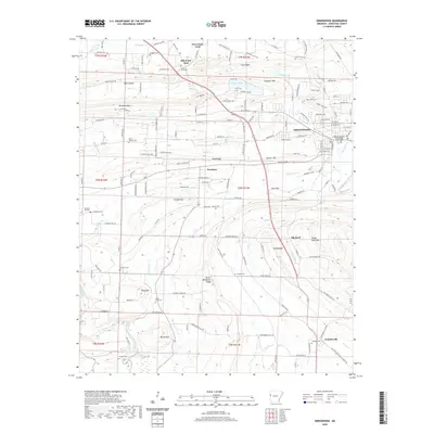
2020 Map of Greenwood
USGS Topo · Published 2020About this map
Greenwood serves as the regional anchor of this Sebastian County landscape, centered on the Sebastian County Courthouse Greenwood. The town’s growth is evident in its detailed street grid, while the surrounding countryside reveals a deep history of small settlements and family burials. The terrain is defined by a series of prominent ridges and mountains that run roughly east-west, including Backbone Mtn and the striking Devils Backbone Ridge, which likely influenced the historical path of roads and the isolation of early farmsteads.
Find a feature on this map
104 named features on this map. Tap any name to fly to it.
Don’t see what you’re looking for? This feature index may not catch every label — zoom into the map to look around manually.
Map Details
Editions of this 2020 Greenwood Map
This is the sole edition of this map. No revisions or reprints were ever made.
Other maps of this area

1879 · Fort Smith
USGS Topo · 1:62,500

1887 · Van Buren
USGS Topo · 1:62,500

1887 · Greenwood
USGS Topo · 1:62,500

1890 · Fort Smith
USGS Topo · 1:125,000

1906 · Lavaca
USGS Topo · 1:62,500

1906 · Barber
USGS Topo · 1:62,500

1943 · Fort Smith
USGS Topo · 1:125,000

1946 · Fort Smith
USGS Topo · 1:250,000

1947 · Lavaca
USGS Topo · 1:62,500

1947 · Van Buren
USGS Topo · 1:62,500