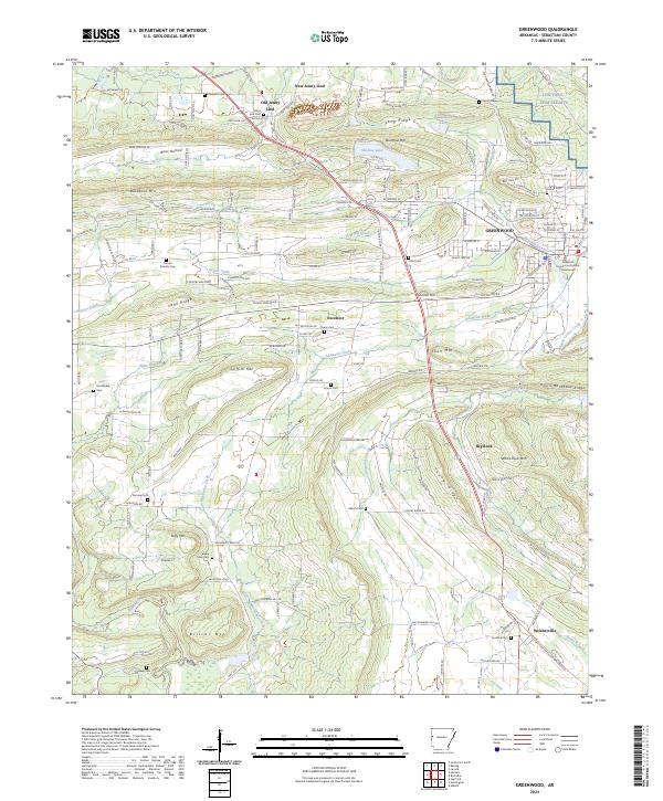
2024 Map of Greenwood
USGS Topo · Published 2024About this map
The Sebastian County Courthouse stands as the central landmark for this region of Sebastian County, where the settlement patterns of Old Jenny Lind and New Jenny Lind reflect the area's coal mining and development history. This modern topographical study captures the undulating terrain of the Arkansas Ozark foothills, characterized by prominent ridges such as Backbone Mtn, Sand Ridge, and the formidable Devils Backbone Ridge. These geographic features dictate the winding paths of local infrastructure, including Co Rd 133 and the Elmwood Cutoff.
Find a feature on this map
100 named features on this map. Tap any name to fly to it.
Don’t see what you’re looking for? This feature index may not catch every label — zoom into the map to look around manually.
Map Details
Editions of this 2024 Greenwood Map
This is the sole edition of this map. No revisions or reprints were ever made.
Other maps of this area

1879 · Fort Smith
USGS Topo · 1:62,500

1887 · Van Buren
USGS Topo · 1:62,500

1887 · Greenwood
USGS Topo · 1:62,500

1890 · Fort Smith
USGS Topo · 1:125,000

1906 · Lavaca
USGS Topo · 1:62,500

1906 · Barber
USGS Topo · 1:62,500

1943 · Fort Smith
USGS Topo · 1:125,000

1946 · Fort Smith
USGS Topo · 1:250,000

1947 · Lavaca
USGS Topo · 1:62,500

1947 · Van Buren
USGS Topo · 1:62,500