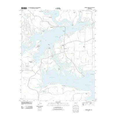
2011 Map of Greers Ferry
USGS Topo · Published 2011About this map
Greers Ferry Lake dominates this Van Buren County landscape, its sprawling waters defining the modern geography of Edgemont, Higden, and Whispering Springs. The reservoir, formed by the impoundment of the Little Red River, has transformed former valley lands into a complex shoreline of points and hollows. Local navigation and recreation center around infrastructure like the Edgemont Bridge and several boat access points, including Hill Creek Marina, Narrows Marina, and Shiloh Marina.
Find a feature on this map
143 named features on this map. Tap any name to fly to it.
Don’t see what you’re looking for? This feature index may not catch every label — zoom into the map to look around manually.
Map Details
Editions of this 2011 Greers Ferry Map
This is the sole edition of this map. No revisions or reprints were ever made.
Other maps of this area

1892 · Mountain View
USGS Topo · 1:125,000

1894 · Mountain View
USGS Topo · 1:125,000

1956 · Russellville
USGS Topo · 1:250,000

1961 · Bee Branch
USGS Topo · 1:62,500

1961 · Morganton
USGS Topo · 1:24,000

1963 · Quitman
USGS Topo · 1:24,000
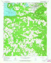
1963 · Heber Springs
USGS Topo · 1:24,000

1964 · Russellville
USGS Topo · 1:250,000
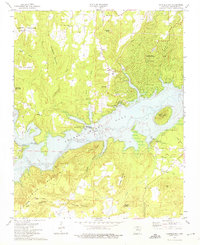
1973 · Fairfield Bay
USGS Topo · 1:24,000
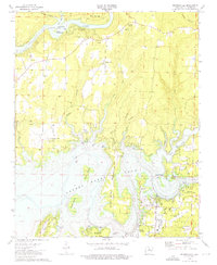
1973 · Brownsville
USGS Topo · 1:24,000