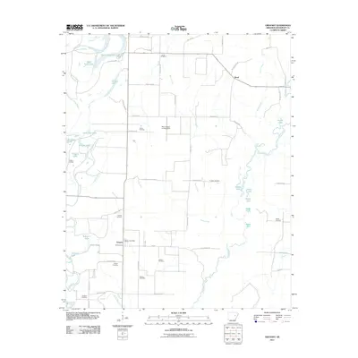
2011 Map of Gregory
USGS Topo · Published 2011About this map
The Cache River and its complex network of oxbows and bayous dominate this Woodruff County landscape, illustrating a classic delta environment shaped by water. The settlement of Gregory sits at a nexus of local transit, featuring the Gregory Post Office and Point Cemetery at its core. Evidence of the area's aviation and agricultural history is visible at the Mary Stanley Landing Strip, while the riverfront at Gregory Landing points to the region's historic reliance on water-based transport and commerce.
Find a feature on this map
65 named features on this map. Tap any name to fly to it.
Don’t see what you’re looking for? This feature index may not catch every label — zoom into the map to look around manually.
Map Details
Editions of this 2011 Gregory Map
This is the sole edition of this map. No revisions or reprints were ever made.
Other maps of this area

1935 · Augusta
USGS Topo · 1:62,500

1935 · Gregory
USGS Topo · 1:62,500

1939 · Hunter
USGS Topo · 1:62,500

1940 · Tilton
USGS Topo · 1:62,500

1953 · Memphis
USGS Topo · 1:250,000

1956 · Memphis
USGS Topo · 1:250,000

1956 · Tilton
USGS Topo · 1:62,500

1956 · Hunter
USGS Topo · 1:62,500

1957 · Augusta
USGS Topo · 1:62,500

1957 · Gregory
USGS Topo · 1:62,500