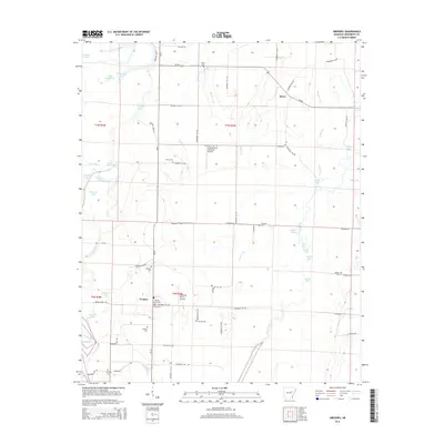
2014 Map of Gregory
USGS Topo · Published 2014About this map
Gregory sits at the heart of this Woodruff County landscape, defined by the winding course of the Cache River and a dense network of backwater lakes and bayous. The settlement pattern here is deeply rooted in local history, evidenced by a high concentration of burial sites including Gregory Cem, Eldridge Cem, and Point Cem. The terrain is shaped by the erratic movements of water through the Cache Bayou and Moore Creek, creating a complex environment of oxbows like Horseshoe Lake and Three Prong Lake.
Find a feature on this map
74 named features on this map. Tap any name to fly to it.
Don’t see what you’re looking for? This feature index may not catch every label — zoom into the map to look around manually.
Map Details
Editions of this 2014 Gregory Map
This is the sole edition of this map. No revisions or reprints were ever made.
Other maps of this area
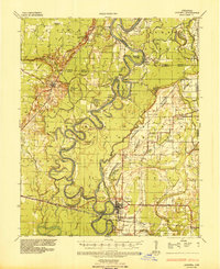
1935 · Augusta
USGS Topo · 1:62,500
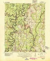
1935 · Gregory
USGS Topo · 1:62,500
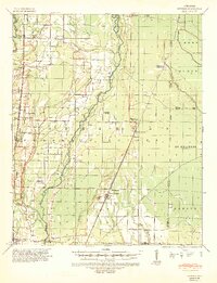
1939 · Hunter
USGS Topo · 1:62,500
1940 · Tilton
USGS Topo · 1:62,500

1953 · Memphis
USGS Topo · 1:250,000
1956 · Memphis
USGS Topo · 1:250,000
1956 · Tilton
USGS Topo · 1:62,500
1956 · Hunter
USGS Topo · 1:62,500
1957 · Augusta
USGS Topo · 1:62,500
1957 · Gregory
USGS Topo · 1:62,500