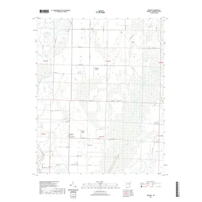
2020 Map of Gregory
USGS Topo · Published 2020About this map
Gregory sits at the heart of this agricultural landscape in Woodruff County, serving as a focal point for local life along the Cache River. The terrain is characterized by a dense network of water bodies and drainages, including the prominent Cache Bayou, Jackson Lake, and Beaver Lake, which define the region's hydrography. The distribution of small airfields like David Stanley Memorial Airport and Galloway Farms Airport underscores the importance of aerial support for the area's farming operations.
Find a feature on this map
76 named features on this map. Tap any name to fly to it.
Don’t see what you’re looking for? This feature index may not catch every label — zoom into the map to look around manually.
Map Details
Editions of this 2020 Gregory Map
This is the sole edition of this map. No revisions or reprints were ever made.
Other maps of this area

1935 · Augusta
USGS Topo · 1:62,500

1935 · Gregory
USGS Topo · 1:62,500

1939 · Hunter
USGS Topo · 1:62,500

1940 · Tilton
USGS Topo · 1:62,500

1953 · Memphis
USGS Topo · 1:250,000

1956 · Memphis
USGS Topo · 1:250,000

1956 · Tilton
USGS Topo · 1:62,500

1956 · Hunter
USGS Topo · 1:62,500

1957 · Augusta
USGS Topo · 1:62,500

1957 · Gregory
USGS Topo · 1:62,500