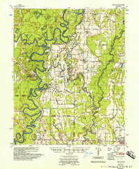
1957 Map of Gregory
USGS Topo · Published 1957About this map
Cotton Plant stands as a primary hub in this mid-century portrait of the White River valley, where the Missouri Pacific RR and a branching Pipe Line track the region's industrial development. The landscape is defined by the heavy meanders of the White River, which carves out distinct oxbows and sloughs such as Hill Lake and Wolf Lake. Along the river’s winding course, geological landmarks like Peach Orchard Bluff and Smokehouse Bluff rise above the wetlands, while the Southwestern District and various engineer districts highlight the ongoing water management efforts of the Mississippi River Commission.
Find a feature on this map
70 named features on this map. Tap any name to fly to it.
Don’t see what you’re looking for? This feature index may not catch every label — zoom into the map to look around manually.
Map Details
Editions of this 1957 Gregory Map
This is the sole edition of this map. No revisions or reprints were ever made.
Other maps of this area
1932 · Kensett
USGS Topo · 1:62,500
1935 · Kensett
USGS Topo · 1:62,500
1935 · Hazen
USGS Topo · 1:62,500
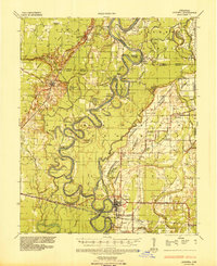
1935 · Augusta
USGS Topo · 1:62,500
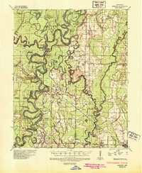
1935 · Gregory
USGS Topo · 1:62,500
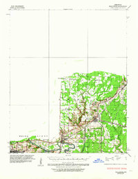
1935 · Bald Knob
USGS Topo · 1:62,500
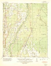
1939 · Hunter
USGS Topo · 1:62,500
1940 · Brinkley
USGS Topo · 1:62,500
1940 · Tilton
USGS Topo · 1:62,500
1941 · Hazen
USGS Topo · 1:62,500