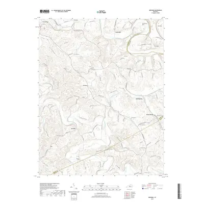
2019 Map of Gresham
USGS Topo · Published 2019About this map
The Green River and Russell Creek define the drainage and settlement patterns of this central Kentucky landscape. Small crossroads communities such as Gresham, Roachville, and Haskingsville serve as focal points for a network of rural routes, including Roachville Rd and Ebenezer Rd. The terrain is marked by distinctive river features like Penitentiary Bend and Cox Bend, where the water loops tightly through the Green County hills. Family and community history is anchored by numerous small burial grounds, including the Old Cem and New Cem near Gresham, and the Henderson Cem further south. The map illustrates a deeply rooted agricultural area where place names like Lemon Bend and Mount Gilead persist alongside traditional creek boundaries, showing a landscape of small farms and wooded ridges that has maintained its rural character into the twenty-first century.
Find a feature on this map
114 named features on this map. Tap any name to fly to it.
Don’t see what you’re looking for? This feature index may not catch every label — zoom into the map to look around manually.
Map Details
Editions of this 2019 Gresham Map
This is the sole edition of this map. No revisions or reprints were ever made.
Other maps of this area

1953 · Gradyville
USGS Topo · 1:24,000

1953 · Campbellsville
USGS Topo · 1:24,000

1953 · Summersville
USGS Topo · 1:24,000

1953 · Exie
USGS Topo · 1:24,000

1953 · Gresham
USGS Topo · 1:24,000

1953 · East Fork
USGS Topo · 1:24,000

1953 · Cane Valley
USGS Topo · 1:24,000

1954 · Columbia
USGS Topo · 1:24,000

1954 · Greensburg
USGS Topo · 1:24,000

1957 · Winchester
USGS Topo · 1:250,000