Loading...
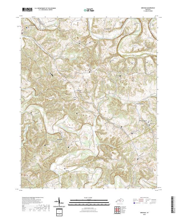
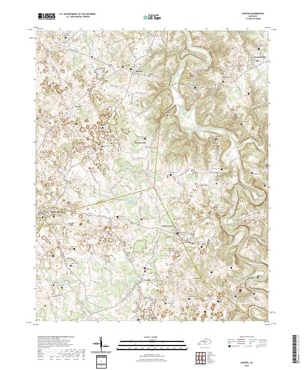
Loading map...2022 Map of Gresham
USGS Topo · Published 2022About this map
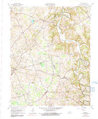
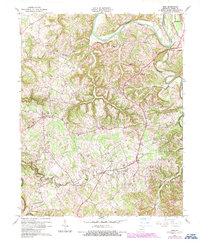
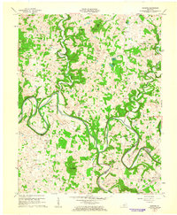
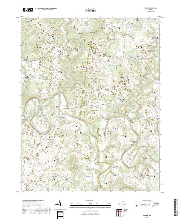
Roachville and Gresham anchor a landscape defined by the winding course of the Green River, which creates several distinctive sharp meanders including Penitentiary Bend and Lemon Bend. The terrain is marked by a dense network of small rural settlements and family-named homesteads, reflecting a long history of upland farming across the Green and Adair County line.
Find a feature on this map
136 named features on this map. Tap any name to fly to it.
Don’t see what you’re looking for? This feature index may not catch every label — zoom into the map to look around manually.
Map Details
Date Portrayed2022
Date Published2022
PublisherU.S. Geological Survey
Map TypeTopographic
Scale1:24000
Physical Dimensions24 x 29 inches
Editions of this 2022 Gresham Map
This is the sole edition of this map. No revisions or reprints were ever made.
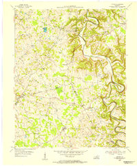
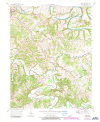
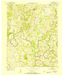
Historical Maps of Fry Through Time
11 maps found

Featured Locations
Source Details
SourceU.S. Geological Survey
CopyrightPublic Domain