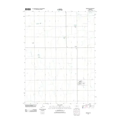
2011 Map of Gresham
USGS Topo · Published 2011About this map
Gresham serves as the primary hub of this eastern Nebraska landscape, where a grid of rural roads connects scattered agricultural operations and water management sites. The upper reaches of the Big Blue River wind through the northeast, while the rest of the terrain is defined by a series of man-made water features including Torell Reservoir, Hopwood Reservoir, and Miller Reservoir. These reservoirs, supported by structures like the Don Alt Dam and Miller Dam, illustrate the critical role of water conservation in York County's farming economy.
Find a feature on this map
32 named features on this map. Tap any name to fly to it.
Don’t see what you’re looking for? This feature index may not catch every label — zoom into the map to look around manually.
Map Details
Editions of this 2011 Gresham Map
This is the sole edition of this map. No revisions or reprints were ever made.
Other maps of this area

1896 · Stromsburg
USGS Topo · 1:125,000

1898 · York
USGS Topo · 1:125,000

1899 · David City
USGS Topo · 1:125,000

1899 · York
USGS Topo · 1:125,000

1934 · Utica
USGS Topo · 1:62,500

1937 · Utica
USGS Topo · 1:62,500

1955 · Fremont
USGS Topo · 1:250,000

1955 · Lincoln
USGS Topo · 1:250,000

1957 · Fremont
USGS Topo · 1:250,000

1957 · Lincoln
USGS Topo · 1:250,000