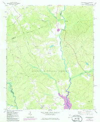
1972 Map of Greshamville
USGS Topo · Published 1986About this map
Oconee National Forest dominates this Georgia landscape where Greene, Oconee, and Morgan counties converge. The winding path of the Oconee River is the central artery of the region, flowing past the Scull Shoals Historic Area toward the rising waters of Lake Oconee in the south. This survey captures a rural community defined by its watercourses and country congregations, from the Apalachee River in the west to the small settlements of Greshamville and Wrayswood. Genealogists and local historians can locate several rural landmarks including Fork Chapel, New Hope Ch, and Little Creek Ch. The presence of Colhan Ferry Road and numerous small family cemeteries scattered throughout the timberland provides evidence of older transit patterns and homesteads established long before the 1980s revisions documented the expanding reservoir shoreline.
Find a feature on this map
28 named features on this map. Tap any name to fly to it.
Don’t see what you’re looking for? This feature index may not catch every label — zoom into the map to look around manually.
Map Details
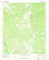
Editions of this 1972 Greshamville Map
2 editions found
Other maps of this area

1953 · Athens
USGS Topo · 1:250,000

1958 · Athens
USGS Topo · 1:250,000

1959 · Athens
USGS Topo · 1:250,000

1963 · Athens
USGS Topo · 1:250,000

1964 · Barnett Shoals
USGS Topo · 1:24,000

1964 · Watkinsville
USGS Topo · 1:24,000

1971 · Maxeys
USGS Topo · 1:24,000

1972 · Penfield
USGS Topo · 1:24,000

1972 · Buckhead
USGS Topo · 1:24,000

1972 · Apalachee
USGS Topo · 1:24,000