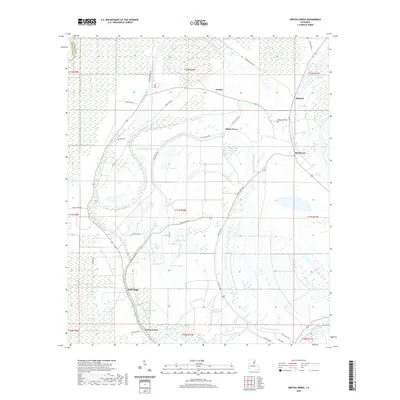
2020 Map of Gretna Green
USGS Topo · Published 2020About this map
Gretna Green and Justina sit within a landscape defined by the intricate hydrology of the Tensas and Franklin Parish borderlands. This 2020 survey illustrates a region where life follows the winding paths of Little Choctaw Bayou and Big Choctaw Bayou. The terrain is characterized by numerous oxbow features and depressions such as Pecan Brake, Wilson Lake, and Lake Black Dog, reflecting the alluvial history of the Mississippi River delta plain.
Find a feature on this map
48 named features on this map. Tap any name to fly to it.
Don’t see what you’re looking for? This feature index may not catch every label — zoom into the map to look around manually.
Map Details
Editions of this 2020 Gretna Green Map
This is the sole edition of this map. No revisions or reprints were ever made.
Other maps of this area

1909 · Delta Bridge
USGS Topo · 1:24,000

1935 · Winnsboro
USGS Topo · 1:62,500

1935 · Shackleford Lake
USGS Topo · 1:62,500

1939 · Locust Ridge
USGS Topo · 1:62,500

1941 · Sicily Island
USGS Topo · 1:62,500

1953 · Natchez
USGS Topo · 1:250,000

1955 · Jackson
USGS Topo · 1:250,000

1956 · Natchez
USGS Topo · 1:250,000

1957 · Sicily Island
USGS Topo · 1:62,500

1958 · Shackleford Lake
USGS Topo · 1:62,500