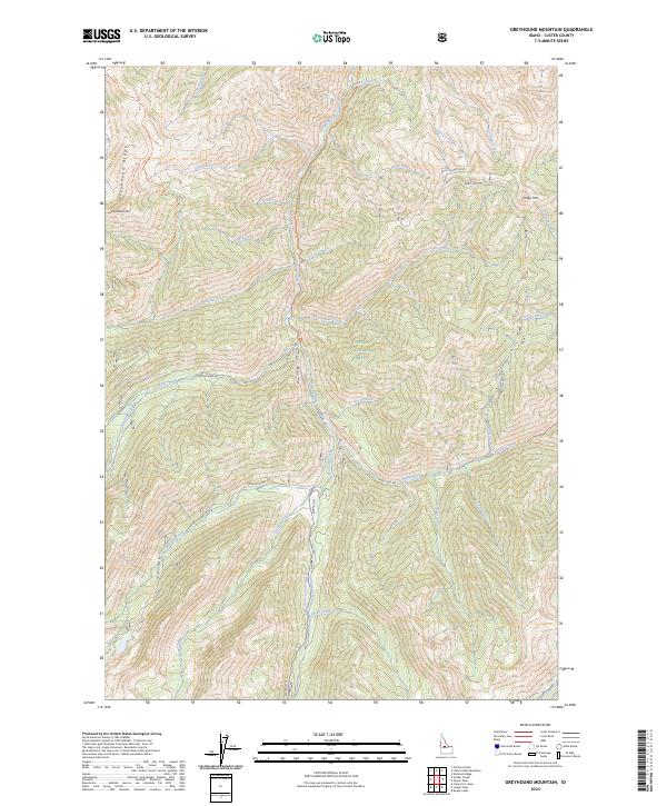
2024 Map of Greyhound Mountain
USGS Topo · Published 2024About this map
Frank Church-River of No Return Wilderness and the Challis National Forest dominate this high-elevation Idaho landscape, where drainage patterns define the human and natural geography. The Rapid River and its numerous tributaries, including Silver Creek and Sulphur Creek, carve through the complex terrain between Greyhound Mtn and Sheep Mtn. This area is characterized by its isolation and limited road access, with Seafoam Rd and Josephus Lake Rd providing the primary transit through the drainages.
Find a feature on this map
52 named features on this map. Tap any name to fly to it.
Don’t see what you’re looking for? This feature index may not catch every label — zoom into the map to look around manually.
Map Details
Editions of this 2024 Greyhound Mountain Map
This is the sole edition of this map. No revisions or reprints were ever made.
Other maps of this area

1891 · Bear Valley
USGS Topo · 1:125,000

1893 · Bear Valley
USGS Topo · 1:125,000

1919 · Custer
USGS Topo · 1:125,000

1922 · Custer
USGS Topo · 1:125,000

1930 · Casto
USGS Topo · 1:125,000

1957 · Challis
USGS Topo · 1:250,000

1960 · Challis
USGS Topo · 1:250,000

1961 · Greyhound Ridge
USGS Topo · 1:62,500

1963 · Challis
USGS Topo · 1:250,000

1963 · Pinyon Peak
USGS Topo · 1:24,000