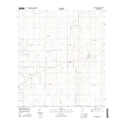
2015 Map of Griffins Corner
USGS Topo · Published 2015About this map
Griffins Corner and Lemon Grove anchor this 2015 study of the Hardee County interior, where a complex network of creeks and branches defines the landscape. The drainage system is particularly dense here, featuring the winding paths of Little Charlie Cr and Charlie Cr, along with numerous tributaries like Buckhorn Cr, Lake Dale Br, and Old Town Cr. This 21st-century survey reflects a rural Florida landscape transitioning through modern land divisions, visible in the named road network including Lucky Lonesome Trl and Cracker Ln. Local history is anchored by the Hart Cem in the northern reaches, while the southern terrain is marked by seasonal watercourses like Bee Br and Max Br, illustrating the hydrological character of the region before it meets larger downstream basins.
Find a feature on this map
65 named features on this map. Tap any name to fly to it.
Don’t see what you’re looking for? This feature index may not catch every label — zoom into the map to look around manually.
Map Details
Editions of this 2015 Griffins Corner Map
This is the sole edition of this map. No revisions or reprints were ever made.
Other maps of this area
1953 · Frostproof
USGS Topo · 1:24,000
1953 · Avon Park
USGS Topo · 1:24,000
1953 · Crewsville
USGS Topo · 1:24,000
1955 · Bowling Green
USGS Topo · 1:24,000
1955 · Wauchula
USGS Topo · 1:24,000
1956 · Bereah
USGS Topo · 1:24,000
1956 · Sweetwater
USGS Topo · 1:24,000
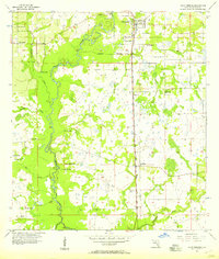
1956 · Zolfo Springs
USGS Topo · 1:24,000
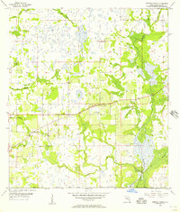
1956 · Griffins Corner
USGS Topo · 1:24,000
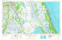
1956 · Fort Pierce
USGS Topo · 1:250,000