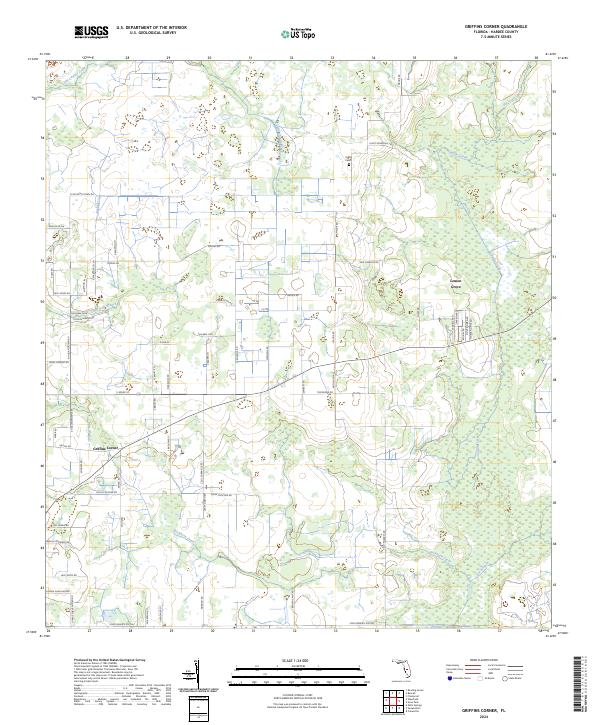
2024 Map of Griffins Corner
USGS Topo · Published 2024About this map
Lemon Grove and Griffins Corner anchor this rural Hardee County landscape, where agriculture and cattle ranching dominate the Florida interior. The terrain is defined by an intricate network of waterways, most notably the winding paths of Charlie Creek and Little Charlie Creek as they flow through the central and eastern portions of the quadrangle. For genealogists and local historians, the Hart Cem near Maude Rd provides a specific point of interest for family research. The map reveals a pastoral infrastructure of named roads such as Peeples Rd and Colin Poucher Rd, which connect scattered homesteads and ranches. Tributaries like Buckhorn Creek and Mac Branch drain the low-lying areas, illustrating the drainage patterns essential to Florida's central ridge ranching history.
Find a feature on this map
69 named features on this map. Tap any name to fly to it.
Don’t see what you’re looking for? This feature index may not catch every label — zoom into the map to look around manually.
Map Details
Editions of this 2024 Griffins Corner Map
This is the sole edition of this map. No revisions or reprints were ever made.
Other maps of this area

1953 · Frostproof
USGS Topo · 1:24,000

1953 · Avon Park
USGS Topo · 1:24,000

1953 · Crewsville
USGS Topo · 1:24,000

1955 · Bowling Green
USGS Topo · 1:24,000

1955 · Wauchula
USGS Topo · 1:24,000

1956 · Bereah
USGS Topo · 1:24,000

1956 · Sweetwater
USGS Topo · 1:24,000

1956 · Zolfo Springs
USGS Topo · 1:24,000

1956 · Griffins Corner
USGS Topo · 1:24,000

1956 · Fort Pierce
USGS Topo · 1:250,000