Loading...
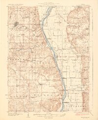
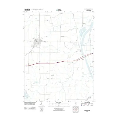
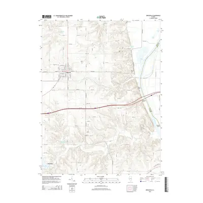
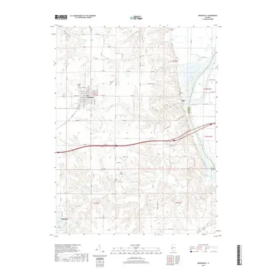
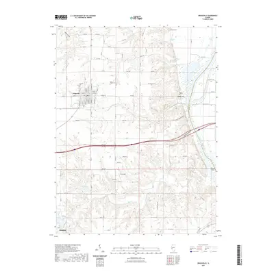
Loading map...1924 Map of Griggsville
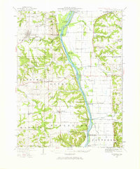
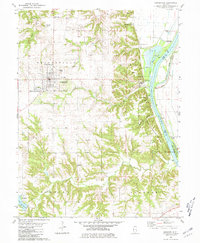
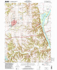
USGS Topo · Published 1971About this map
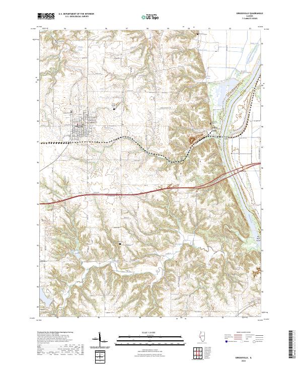
The Illinois River defines the central axis of this landscape, serving as the border between Pike and Scott counties. In the 1920s, this region was a network of rural school districts and small riverfront landings. The Wabash RR cuts through the northern section, connecting the hub of Griggsville to Valley City and Naples via a crossing over the water. The map captures a sophisticated drainage system necessary for valley agriculture, featuring the Scott County Pumping Sta and Big Swan Pumping Sta along the river banks.
Find a feature on this map
80 named features on this map. Tap any name to fly to it.
Don’t see what you’re looking for? This feature index may not catch every label — zoom into the map to look around manually.
Map Details
Date Portrayed1924
Date Published1971
PublisherU.S. Geological Survey
Map TypeTopographic
Scale1:62,500
Physical Dimensions18.1 x 21.8 inches
Editions of this 1924 Griggsville Map
2 editions found

Historical Maps of Pittsfield Through Time
9 maps found
Featured Locations
Source Details
SourceU.S. Geological Survey
CopyrightPublic Domain