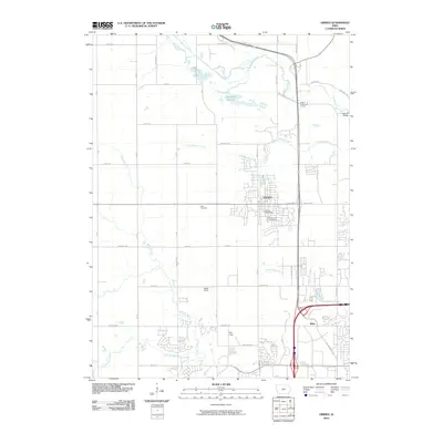
2010 Map of Grimes
USGS Topo · Published 2010About this map
Grimes and the adjacent settlement of Rider stand at a point of transition where suburban expansion meets the agricultural drainage basins of central Iowa. The landscape is defined by the winding paths of Beaver Creek and Walnut Creek, which cut across the structured grid of rural section roads like NW 70th Ave and Meredith Dr. This 2010 survey shows the residential growth patterns beginning to fill the spaces between traditional landmarks, such as Sunny Hill Cemetery and the Grimes Post Office.
Find a feature on this map
35 named features on this map. Tap any name to fly to it.
Don’t see what you’re looking for? This feature index may not catch every label — zoom into the map to look around manually.
Map Details
Editions of this 2010 Grimes Map
This is the sole edition of this map. No revisions or reprints were ever made.
Other maps of this area

1905 · Des Moines
USGS Topo · 1:62,500

1907 · Des Moines
USGS Topo · 1:62,500

1908 · Waukee
USGS Topo · 1:62,500

1911 · Madrid
USGS Topo · 1:62,500

1911 · Slater
USGS Topo · 1:62,500

1913 · Slater
USGS Topo · 1:62,500

1914 · Madrid
USGS Topo · 1:62,500

1954 · Des Moines
USGS Topo · 1:250,000

1956 · Des Moines
USGS Topo · 1:250,000

1956 · Des Moines NW
USGS Topo · 1:24,000